What is recorded here
Fairy fort in Glenboy, County Meath: a grassy ring with a steep inner scarp, outer bank, and small entrance on a ridge slope. People may have stood inside the circle, watched the valley, or kept something back from the land. The name suggests they also believed the place belonged to unseen neighbours, and human hands and fairy claim may have shaped the same soil.
Located on a slight rise on the NW-facing slope of NE-SW ridge. This is a raised grass and scrub-covered subcircular area (dims of top 30m WNW-ESE: 25m NNW-SSE) with some rock outcrop on the summit defined by a scarp (at SSE: Wth 19m; H 2.5m; at NNW: Wth 4m; H 1.7m) separated by a berm (at S: Wth 6.4m) from an outer earthen bank (at S: Wth of base 3m; int. H 0.5m; ext. H 0.7m) with some bushes and there are slight traces of an outer fosse N-SE. There is an entrance (Wth of base 2.3m) in this outer bank at SSW. On the summit there is a raised platform (dims 15m E-W; 10m N-S; H 0.4m) in the SW quadrant.
The above description is derived from the published 'Archaeological Inventory of County Meath' (Dublin: Stationery Office, 1987). In certain instances the entries have been revised and updated in the light of recent research.
Compiled by: Michael Moore
Date of revision: 31 October 2018
The monument record does not grant public access. Check the route and ask the landowner before entering private land.
- What survives
- Recorded monument
Places near here
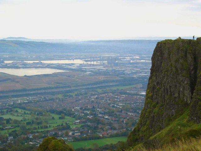 Cave FortFairy fort / earthen ringfort · 464 yd
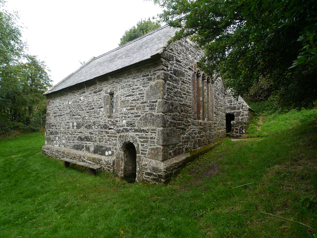 Holy WellHoly well · 1276 yd
 Church (in Ruins)Church · 1440 yd
 CastleCastle, motte and bailey · 1511 yd
 Fennor LowerMountain / peak · 1573 yd
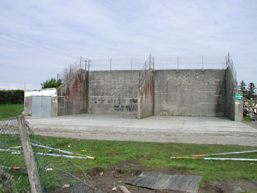 Saint Oliver Post Primary Schoolhandball alley · 1.1 mi
 Memorial CrossMemorial · 1.4 mi
 Mount FortuneMountain / peak · 1.5 mi
 European BeechEuropean Beech · 2.1 mi
 The MoatCastle, motte and bailey · 2.3 mi
 C11Named rock · 3.4 mi
 LoughcrewMegalithic tomb cemetery · 3.6 mi