What is recorded here
Mortons and company built a circular fort on the low ridge, perhaps as a boundary marker or small stronghold before the area became pasture. The earth bank and stone foundation still trace a nineteen-metre ring, though trees and scrub now occupy the centre. It is the kind of place where human ambition and fairy tale both claim the same forgotten shape.
On a low ridge in rough pasture. Depicted as a circular enclosure with the designation 'Fort' on the 1837 ed. of the OS 6-inch map. A report in 1976 (SMR file) indicates that this raised circular area (diam. c. 19m) was enclosed by a bank of earth and stone and an external fosse. It is defined by fragmentary remains of wall foundations (Wth 0.75m; H 0.3m) from SE-SSE-S and elsewhere by a low scarp (H 0.3-0.4m). The original entrance is not recognisable. The interior is occupied by mature deciduous trees and scrub. Possibly a rath that was adapted and reused as a landscape feature.
Compiled by: Patrick F. O'Donovan
Date of upload: 26 August 2011
The monument record does not grant public access. Check the route and ask the landowner before entering private land.
- What survives
- Recorded monument
Places near here
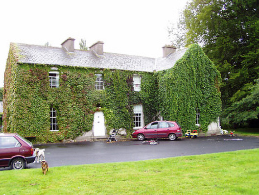 Shrule Gleberectory/glebe/vicarage/curate's house · 253 yd
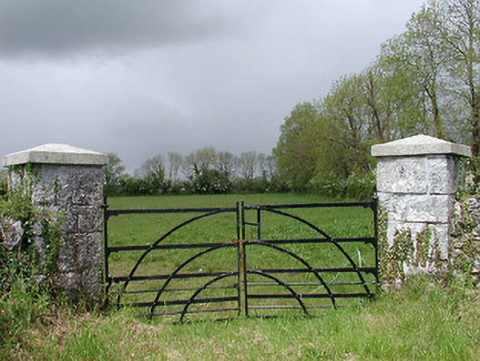 gates/railings/wallsgates/railings/walls · 458 yd
 CastleCastle, motte · 1111 yd
 Cultivation ridges in CastlecoreCultivation ridges · 1643 yd
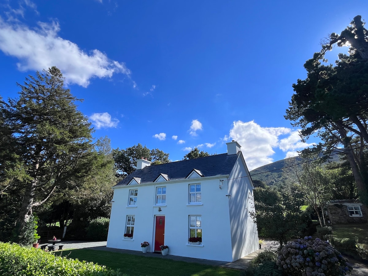 Fulacht fia in Rathmore (shrule By.)Fulacht fia · 1.0 mi
 OutlinedCastle, unclassified · 1.0 mi
 European BeechEuropean Beech · 1.2 mi
 Noughaval CemeteryArchaeological place · 2.4 mi
 Leveret IslandIslet · 3.8 mi
 Corlea Bog Walk Canal BranchWalking route · 4.1 mi
 Corlea Trackway Interpretative CentreHeritage attraction · 4.2 mi
 Corlea Bog Walk Blue LoopWalking route · 4.5 mi