What is recorded here
One of five lioses in Glanturkin, the lost ringfort likely served as a boundary marker or dwelling before human memory faded. Power named it in 1940, yet no stone or ridge remains visible to test that claim. The earth may have swallowed the fort, or the fort may have swallowed the people who stopped repeating its name.
One of 'five lioses' (CO100-008---; CO100-00901-; CO100-01001-; CO100-050---) referred to by Power (1940, 100) in this townland. Exact location not known.
The above description is derived from the published 'Archaeological Inventory of County Cork. Volume 2: East and South Cork' (Dublin: Stationery Office, 1994). In certain instances the entries have been revised and updated in the light of recent research.
Date of upload/revision: 14 January 2009
The monument record does not grant public access. Check the route and ask the landowner before entering private land.
- What survives
- Recorded monument
Places near here
 Site of Old BuildingReligious house, unclassified · 778 yd
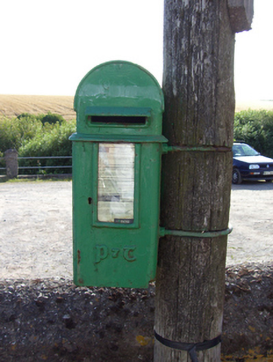 post boxpost box · 973 yd
 RobertMemorial · 1098 yd
 Prehistoric sitePrehistoric site, lithic scatter · 1124 yd
 IndicatedHouse, vernacular house · 1209 yd
 Fossil Worm TrackNamed rock · 1654 yd
 InchBeach / strand · 1.0 mi
 Trabolgan Holiday VillageHeritage attraction · 1.6 mi
 Long OrchardWood · 1.9 mi
 Doonpower (in Ruins)Castle, unclassified · 1.9 mi
 Whitegate War MemorialMemorial · 2.1 mi
 Church Bay BeachBeach / strand · 3.5 mi