What is recorded here
Five ringforts stood in Glanturkin when Power wrote in 1940, but three are gone now. The survivor appears on the 1842 survey as a thirty-metre circle, yet ploughing has erased its surface marks. An underground passage still cuts through the interior, waiting beneath ordinary farmland for someone curious enough to look down instead of across.
In tillage. Shown on 1842 OS 6-inch map as circular enclosure (diam. c. 30m). According to Power (1940, 100) 'There were, at least, five lioses....of these, three have been destroyed' (CO100-008---; CO100-00901-; CO100-050---; CO100-051---). No visible surface trace. Man-made underground passage (CO100-01002-) in interior.
The above description is derived from the published 'Archaeological Inventory of County Cork. Volume 2: East and South Cork' (Dublin: Stationery Office, 1994). In certain instances the entries have been revised and updated in the light of recent research.
Date of upload/revision: 14 January 2009
A fairy fort / earthen ringfort in Glanturkin is a circular early-medieval defensive or agricultural enclosure, likely dating to between the 5th and 10th centuries. It is associated with local folklore referring to "lioses," a term sometimes linked to fairy dwellings or ancient earthworks.
The monument record does not grant public access. Check the route and ask the landowner before entering private land.
- What survives
- Recorded monument
Places near here
 RobertMemorial · 583 yd
 IndicatedHouse, vernacular house · 719 yd
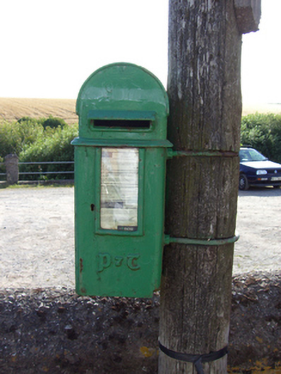 post boxpost box · 725 yd
 Prehistoric sitePrehistoric site, lithic scatter · 778 yd
 Site of Old BuildingReligious house, unclassified · 985 yd
 Fossil Worm TrackNamed rock · 1119 yd
 InchBeach / strand · 1259 yd
 Doonpower (in Ruins)Castle, unclassified · 1.6 mi
 Trabolgan Holiday VillageHeritage attraction · 1.9 mi
 Long OrchardWood · 2.2 mi
 Whitegate War MemorialMemorial · 2.4 mi
 Church Bay BeachBeach / strand · 3.7 mi