What is recorded here
Situated on a shelf on a SW-facing slope. This is a raised grass and scrub-covered oval area (dims 47m WNW-ESE; 37m NNE-SSW) defined by an overgrown earthen bank (Wth of base 8-9m; int. H 1-1.2m; ext. H 2.5m), with a field bank at the bottom of its outer face WSW-WNW. There is a complete outer fosse (at SSW: Wth of top 5.5m; ext. D 0.5m). The original entrance (Wth of base 1.6m) and causeway (Wth of top 3m; H 0.3m) are at ESE.
The above description is derived from the published 'Archaeological Inventory of County Meath' (Dublin: Stationery Office, 1987). In certain instances the entries have been revised and updated in the light of recent research.
Compiled by: Michael Moore
Date of revision: 9 August 2019
The monument record does not grant public access. Check the route and ask the landowner before entering private land.
- What survives
- Recorded monument
Places near here
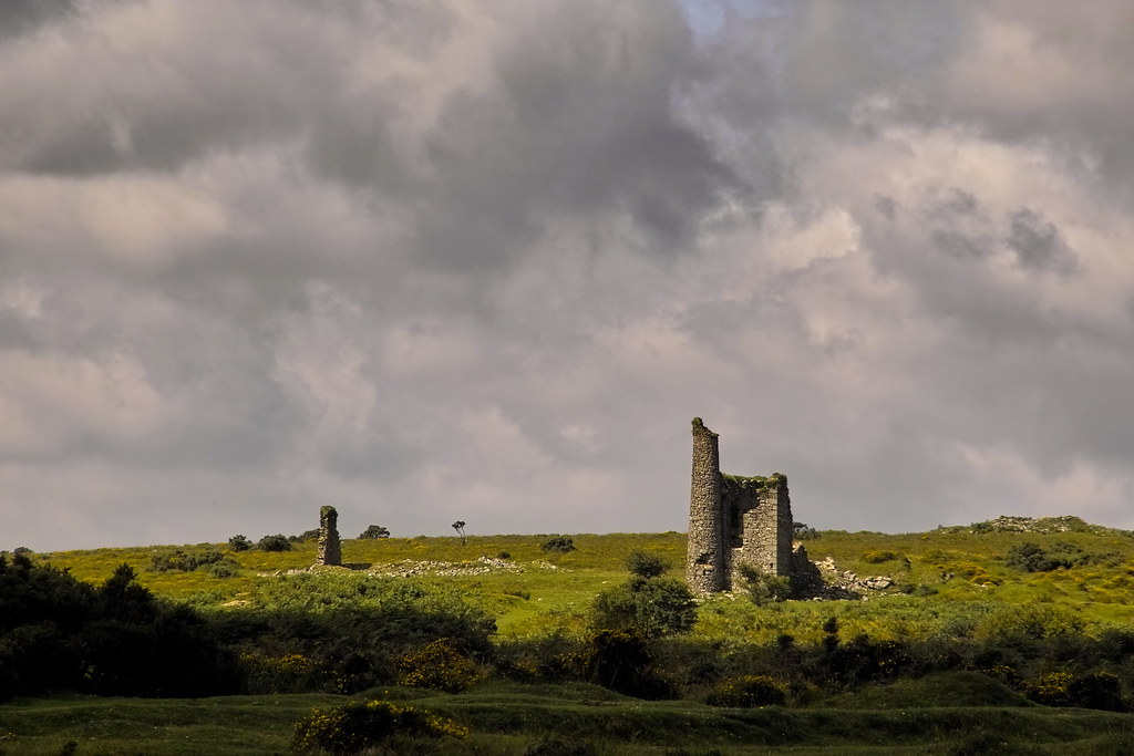 RuinChurch · 781 yd
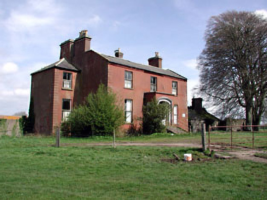 Castlerickard Housecountry house · 1.3 mi
 EnclosureEnclosure, large enclosure · 1.5 mi
 CastleCastle, motte · 1.5 mi
 Concentric enclosure in DalystownConcentric enclosure · 1.6 mi
 Common LimeCommon Lime · 1.9 mi
 European BeechEuropean Beech · 2.0 mi
 Donore CastleCastle · 2.5 mi
 Croppies' GraveMemorial · 5.6 mi
 Cloncurry GraveyardHeritage attraction · 5.8 mi
 The Grill ShackHeritage attraction · 9.5 mi
 Mass was there in Penal TimesMemorial · 11 mi