What is recorded here
Located on a broad plateau and at the head of an ESE-WNW valley that extends to the N-S River Slaney. The cropmark of a circular enclosure (diam. c. 37m) is visible on aerial photograph (CUCAP, AYJ 94). It is not visible at ground level in a harvested cereal crop.
The above description is derived from the published 'Archaeological Inventory of County Wexford' (Dublin: Stationery Office, 1996). In certain instances the entries have been revised and updated in the light of recent research.
Compiled by: Michael Moore
Date of upload/revision: 31 August, 2012
The monument record does not grant public access. Check the route and ask the landowner before entering private land.
- What survives
- Recorded monument
Places near here
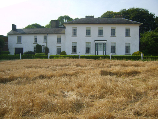 Kyle Housecountry house · 736 yd
 Sion Housefarm house · 803 yd
 Holy well in St. EdmondsHoly well · 1.2 mi
 Embanked enlosureFairy fort / earthen ringfort · 1.2 mi
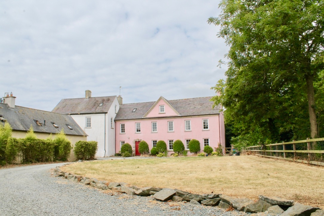 CastleCastle, tower house · 1.7 mi
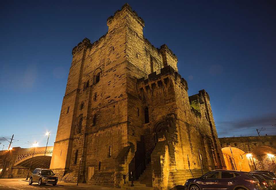 (Site of) CastleCastle, unclassified · 1.9 mi
 Celebrating 125 YearsMemorial · 2.5 mi
 Peace GardenMemorial · 3.0 mi
 Rectory Hall ForestWood · 3.1 mi
 Ballywish SouthForest · 3.3 mi
 Three Sisters River CruisesHeritage attraction · 4.4 mi
 Battle Of The Three RocksMemorial · 4.5 mi