What is recorded here
Walter Roche of Newcastle owned a handsome castle in indifferent repair in 1654, anchoring a large local estate and the ferry at Ferrycarrig. The building has vanished entirely from the level farm complex, leaving no visible remains behind. What is left is a forgotten castle, remembered only through maps and survey words rather than stone.
Traditionally this is thought to have been built by a junior branch of the Roches of Artramon (WX037-007----). Walter Roche of Newcastle is the only proprietor known (Jeffrey 1979, 122 3). According to the Civil Survey (1654-6) he owned ‘a handsome castle in indifferent repair’ at Newcastle in 1654. In 1640 he also owned 960 acres in Tikillin parish in the townlands of Newcastle, Killowen, Ballytarfan (Ballyharran) and the unknown Ballyboggan, as well as the ferry at Ferrycarrig (Simington 1953, 112). Newcastle is depicted as a ruin on Taylor and Skinners map (1778) (Andrews 1969, 143), and it is described as the site of a castle on the 1839 and 1941 eds of the OS 6-inch map. It is situated on a level landscape, but there are no visible remains of a structure at ground level in a farm complex.
See the attached section from the Down Survey (1656-8) parish map (N at right) reproduced courtesy of the National Library of Ireland (Ms 725)
The above description is derived from the published 'Archaeological Inventory of County Wexford' (Dublin: Stationery Office, 1996). In certain instances the entries have been revised and updated in the light of recent research.
Compiled by: Michael Moore
Date of upload/revision: 14 December, 2012
Built by a junior branch of the Roches of Artramon, with Walter Roche of Newcastle as the only known proprietor in the 17th century. The site is historically significant as part of the broader Roche family's influence in the region.
This remains an important historical record, but the official description says the monument is no longer visible or has been destroyed. The monument record does not grant public access. Check the route and ask the landowner before entering private land.
- What survives
- No visible remains or recorded as destroyed
Places near here
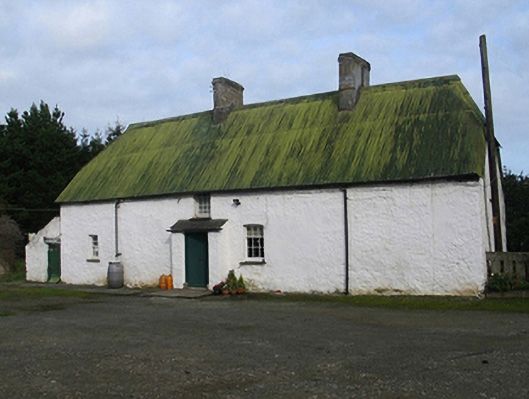 farm housefarm house · 225 yd
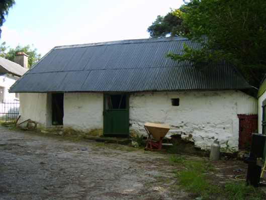 outbuildingoutbuilding · 908 yd
 Enclosure in Newcastle UpperEnclosure · 920 yd
 CrossCross, Churchyard cross · 1731 yd
 Passage TowerCastle, tower house · 1.1 mi
 Ferrycarrig Tower HouseArchaeological place · 1.1 mi
 CrannogHeritage attraction · 1.2 mi
 Irish National Heritage ParkHeritage attraction · 1.2 mi
 Ferrycarrig AmbushMemorial · 1.2 mi
 Halla KennyMemorial · 3.2 mi
 Rectory Hall ForestWood · 3.4 mi
 Siege of Wexfordsiege · 3.5 mi
Other information
Photo: Credit not shown in the picture search · Rights wording not checked; contact us if this picture should be removed