
What is recorded here
This was described in 1987 (SMR file) as a circular overgrown area (diam. 43m E W; 40m N S) defined by a slight earthen bank (Wth 3-6m; int. H 0.6m; ext. H 1.4m). There was an entrance (Wth 3m) at WNW, but there was no visible fosse. It had been removed by 2000 (OSAP). In July 2018 a drone-mounted camera operated by Páid Bates (Skypix Aerial Works) recorded an image of its cropmark as a circular area (diam. c. 40m) defined by a wide fosse feature (Wth c. 5m) visible in parched pasture, but an entrance feature is not visible.
The above description is derived from the published 'Archaeological Inventory of County Wexford' (Dublin: Stationery Office, 1996). In certain instances the entries have been revised and updated in the light of recent research.
See the attached aerial view taken from S courtesy of Skypix Aerial Works
Compiled by: Michael Moore
Date of revision: 2 January, 2019
A local fairy fort (ringfort/rath); wider significance not recorded.
The monument record does not grant public access. Check the route and ask the landowner before entering private land.
- What survives
- Recorded monument
Places near here
 (site of) St. Davids ChurchChurch · 503 yd
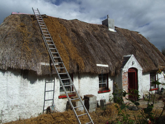 farm housefarm house · 518 yd
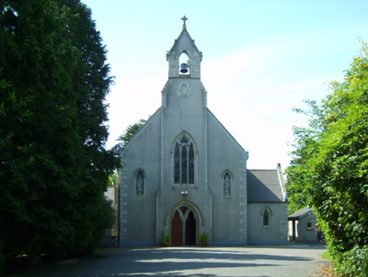 Saint David's Catholic Churchchurch/chapel · 1751 yd
 IndicatedFairy fort / earthen ringfort · 1.3 mi
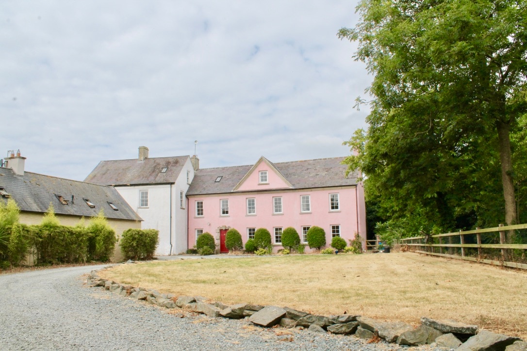 CastleCastle, tower house · 2.0 mi
 King's IslandIsland · 2.3 mi
 Celebrating 125 YearsMemorial · 3.2 mi
 Peace GardenMemorial · 3.6 mi
 (site of) Polehore CastleCastle, unclassified · 3.6 mi
 Ballywish SouthForest · 3.8 mi
 Rectory Hall ForestWood · 3.8 mi
 Three Sisters River CruisesHeritage attraction · 5.5 mi
Other information
Photo: Credit not shown in the picture search · Rights wording not checked; contact us if this picture should be removed