
What is recorded here
Situated on a slight rise on a fairly level landscape with a W-E stream c. 60m to the S. This is a raised circular grass-covered area (diam. 41m E-W; 38m N-S; H 1-1.4m) defined by a scarp. The entrance may have been at SW where the scarp is slightly lower, but there is no evidence of a fosse.
The above description is derived from the published 'Archaeological Inventory of County Wexford' (Dublin: Stationery Office, 1996). In certain instances the entries have been revised and updated in the light of recent research.
Compiled by: Micahel Moore
Date of upload/revision: 31 August, 2012
The monument record does not grant public access. Check the route and ask the landowner before entering private land.
- What survives
- Recorded monument
Places near here
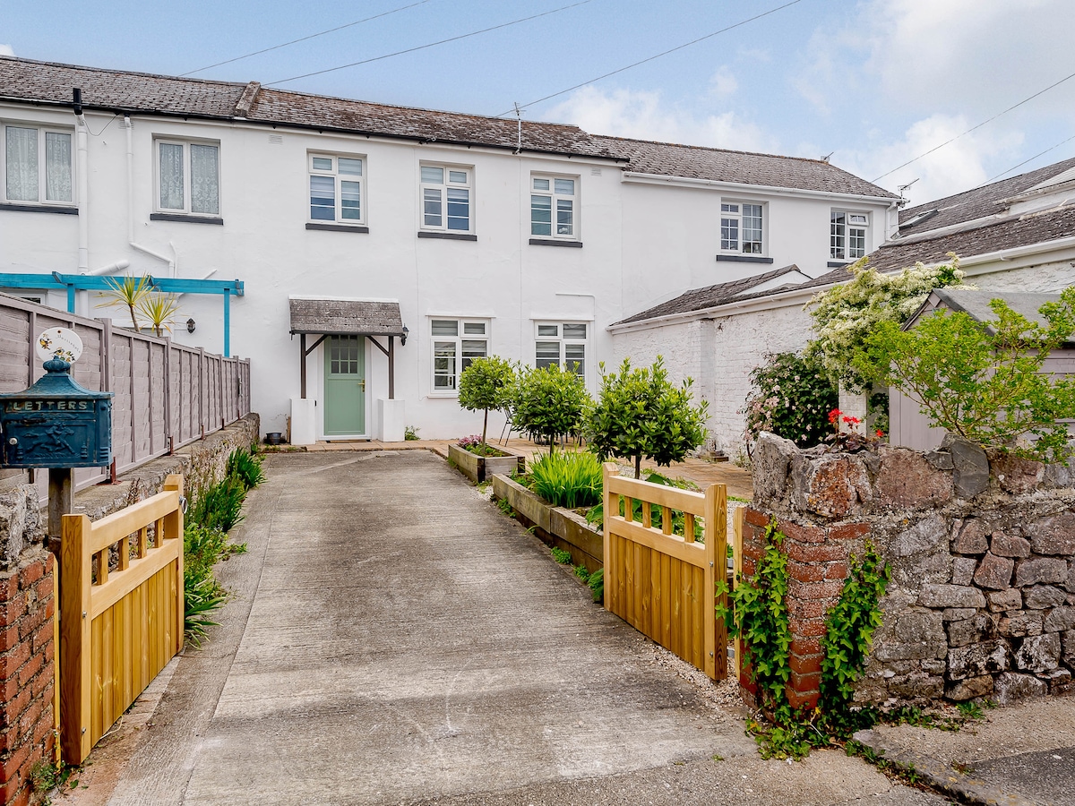 Enclosure in MartingaleEnclosure · 706 yd
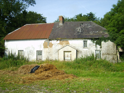 farm housefarm house · 920 yd
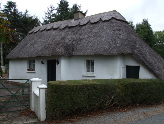 Bog Road Cottagehouse · 1041 yd
 Enclosure in CoolamainEnclosure · 1567 yd
 Scurlocksbush HillMountain / peak · 1.5 mi
 Ballinkeel Castle (in ruins)Castle, unclassified · 1.8 mi
 King's IslandIsland · 2.0 mi
 Eden ValeWood · 3.3 mi
 Artramon CastleCastle, tower house · 3.9 mi
 Peace GardenMemorial · 4.2 mi
 Ballywish SouthForest · 4.3 mi
 Celebrating 125 YearsMemorial · 4.4 mi
Other information
Photo: Credit not shown in the picture search · Rights wording not checked; contact us if this picture should be removed