What is recorded here
Garryantaggart held a twenty-two-metre earthen ring on a south-facing slope before ploughing erased it. The 1842 survey marked the circular boundary, capturing a shape that human hands had likely raised for shelter or ritual. The earth swallowed the ridge, yet the drawing preserved the ghost of a place that no longer exists.
In pasture, on S-facing slope. Depicted on 1842 OS 6-inch map as hachured circular enclosure (diam. c. 22m). Levelled; no visible surface trace.
The above description is derived from the published 'Archaeological Inventory of County Cork. Volume 2: East and South Cork' (Dublin: Stationery Office, 1994). In certain instances the entries have been revised and updated in the light of recent research.
Date of upload/revision: 14 January 2009
The monument record does not grant public access. Check the route and ask the landowner before entering private land.
- What survives
- Recorded monument
Places near here
 Folacht FiadhFulacht fia · 357 yd
 Aghern CemeteryWood · 1038 yd
 Fulacht fia in Kilclare UpperFulacht fia · 1489 yd
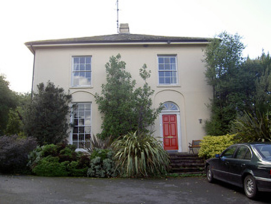 Brideweir Houserectory/glebe/vicarage/curate's house · 1491 yd
 Aghern Bridgebridge · 1535 yd
 Aghern CastleCastle · 1647 yd
 Castle (in Ruins)Castle, tower house · 1.5 mi
 Castlebrook forestWood · 2.2 mi
 Graveyard in KillasseraghGraveyard · 2.8 mi
 Graveyard in Curraheen (kinnatalloon By.)Graveyard · 2.8 mi
 Coole WellVisitor information · 3.3 mi
 Life Space ParkPicnic place · 4.0 mi