What is recorded here
Fairy fort / earthen ringfort in Garraun (Ballysheehan parish) is a fairy fort or earthen ringfort in Garraun (Ballysheehan parish), County Tipperary, Ireland. The site occupies a slightly raised circular area about 34 metres across from north to south on flat upland grassland grazed by horses. An earth and stone bank encloses the area, reaching 0.9 metres in external height and 2.5 metres in base width.
On flat grassland in upland region with good views in all directions, interior under grass and is grazed by horses. There are two ringforts (TS053-101---- and TS053-081----) 140m and 280m to the S respectively. Poorly preserved ringfort consisting of a slightly raised circular area (approx. diam. 34m N-S) enclosed by an earth and stone bank (top Wth 1.2m; base Wth 2.5m; int. H 0.4m; ext. H 0.9m) visible as a field boundary from N through W to SW only elswhere defined by a scarp (H 0.5m). No entrance feature visible. Modern farm laneway skirts around N and W quadrants of ringfort. Depicted as a circular enclosure on first ed. OS 6-inch map.
Compiled by: Jean Farrelly
Date of upload: 15 March 2013
The monument record does not grant public access. Check the route and ask the landowner before entering private land.
- What survives
- Recorded monument
Places near here
 Ballinure HillMountain / peak · 744 yd
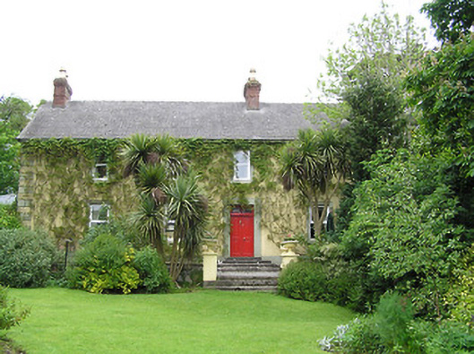 Derrynaflan Househouse · 1067 yd
 Taylor's WoodWood · 1138 yd
 IndicatedFairy fort / earthen ringfort · 1153 yd
 Castle in RuinsCastle, motte and bailey · 1502 yd
 RathcloghFairy fort / earthen ringfort · 1614 yd
 Church in RuinsChurch · 1.1 mi
 The GarrisonCastle, tower house · 1.4 mi
 Noan WoodWood · 1.4 mi
 Ballyknock HillMountain / peak · 3.6 mi
 Gobban Saer's GraveArchaeological place · 3.9 mi
 Horse and JockeyVisitor information · 4.2 mi