What is recorded here
Fairy fort / earthen ringfort in Garraun (Ballysheehan parish) is a fairy fort or earthen ringfort in Garraun (Ballysheehan parish), County Tipperary, Ireland. It occupies an east-facing slope of rising ground in an upland area with good views to the east and higher ground to the west. The site preserves an overgrown circular area about 30 metres across from north to south, enclosed by an earth and stone bank, a fosse and an outer bank that may date from the eighteenth or nineteenth century as a later field boundary. A causewayed entrance three metres wide opens to the southeast on the downslope.
On an E-facing slope of rising ground in upland area with good views to E and higher ground to W, in grassland. Enclosure (TS053-082----) 250m to NW. Overgrown circular area (approx. int. diam. 30m N-S) enclosed by an earth and stone bank (top Wth 1.8m; base Wth 3.5m; ext. H 1.8-3.5m at S; int. H 0.5-0.8m ), fosse (base Wth 1.5-3m; top Wth 4.5m; ext. D 0.8m) and outer bank (top Wth 1.1m; base Wth 2.3m; ext. H 0.2m). Causewayed entrance at SE (Wth 3m) on the downslope. Outer bank may be of 18th/19th-century date and may be just a later enclosing field boundary as indicated on first ed. OS 6-inch map. Internal diameter not obtainable due to dense cover of vegetation.
Compiled by: Jean Farrelly
Date of upload: 26 August 2011
The monument record does not grant public access. Check the route and ask the landowner before entering private land.
- What survives
- Recorded monument
Places near here
 Taylor's WoodWood · 585 yd
 IndicatedFairy fort / earthen ringfort · 969 yd
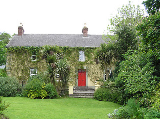 Derrynaflan Househouse · 1244 yd
 Ballinure HillMountain / peak · 1396 yd
 Church in RuinsChurch · 1505 yd
 Noan WoodWood · 1558 yd
 Hilltop enclosure in Ballaghboy (graystown Par.)Hilltop enclosure · 1636 yd
 Castle in RuinsCastle, motte and bailey · 1.4 mi
 The GarrisonCastle, tower house · 1.6 mi
 Gobban Saer's GraveArchaeological place · 3.7 mi
 Ballyknock HillMountain / peak · 4.2 mi
 Horse and JockeyVisitor information · 4.3 mi