What is recorded here
Fairy fort / earthen ringfort in Garranlea is a fairy fort or earthen ringfort in Garranlea, County Tipperary, Ireland. It occupies the edge of a north-facing slope above Mill Stream, where a substantial oval bank measures about 60 metres north-south and 54 metres east-west. The earth and stone structure stands 2.4 metres high externally, while a separate external ditch reaches 0.4 metres depth in its well-defined northern half.
In pasture, on the edge of a N-facing slope overlooking the small valley of Mill Stream. Substantial oval enclosure (dims. c. 60m N-S; c. 54m E-W) defined by bank (Wth 6.9m; int. H 0.3m; ext. H 2.4m) of earth and stone. Monument raised (H 1.7m) on N-side to compensate for hillslope. External fosse (Wth 7m; D 0.4m) is well defined in northern half and field clearance stones have been deposited within. Causewayed entrance (Wth c. ) at ESE. Interior clear and has slightly raised area within centre. Earthworks (TS068-083002-) c. 20m to SE and enclosure (TS068-083003-) c. 23m to S.
Compiled by: Jean Farrelly
Date of upload: 26 August 2011
The monument record does not grant public access. Check the route and ask the landowner before entering private land.
- What survives
- Recorded monument
Places near here
 Garranlea Church (in ruins)Church · 615 yd
 Bawn in GarranleaBawn · 693 yd
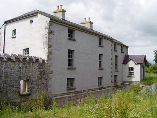 Mill Housemill (water) · 1.0 mi
 Boytonrath Castle (in ruins)Castle, unclassified · 1.1 mi
 Ecclesiastical enclosure in MasterstownEcclesiastical enclosure · 1.2 mi
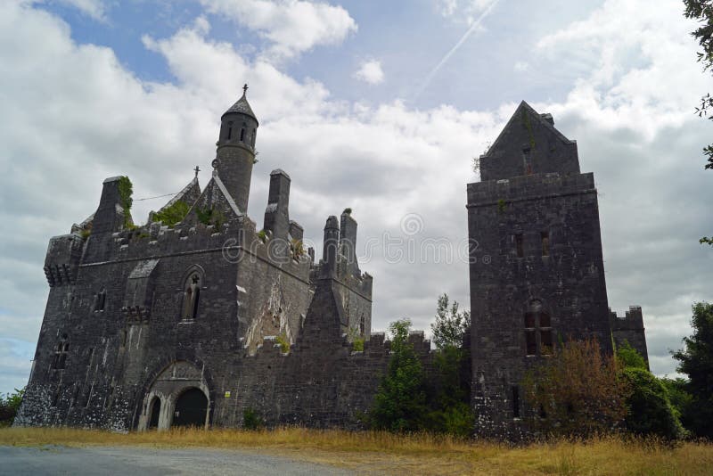 Enclosure in Templenoe (killeenasteena Par.)Enclosure · 1.2 mi
 Athassel PrioryHeritage attraction · 3.2 mi
 Caucasian zelkovaCaucasian zelkova · 4.4 mi
 Cappa WoodWood · 5.1 mi
 Slieveanard NE TopMountain / peak · 5.6 mi
 Cahir CastleHeritage attraction · 5.6 mi
 SlieveanardMountain / peak · 6.3 mi