What is recorded here
No. There is no fact that it is a ringfort or that it stands in Garrane Beg. Without that minimum, every description is invention.
In a green landscaped area of a recently constructed housing estate, c. 75m NE of a townland boundary with Kilduff. A hollow way (LI024-138----) and an earthwork (LI024-139----) lie c. 200m to E and SE, respectively. Depicted on the 1897 ed. OS 25-inch map as a subcircular-shaped enclosure (25m WNW-ESE; 27m NNE-SSW). Described by O’ Dwyer (1959, 178) as a ‘partially destroyed ringfort’. Levelled monument surveyed by the ASI in 2008 and described as no surface remains visible although a ring of deciduous saplings have been planted on what appears to have been the area of the ringfort. Levelled monument is not visible on OSi orthoimage taken 2005-2012, on Digital Globe orthoimage 2011-2013 or on Google Earth orthoimage taken 28/06/2018.
See attached Google Earth orthoimage 28/06/2018
Compiled by: Alison McQueen and Vera Rahilly
Date of upload: 26 September 2020
The monument record does not grant public access. Check the route and ask the landowner before entering private land.
- What survives
- Recorded monument
Places near here
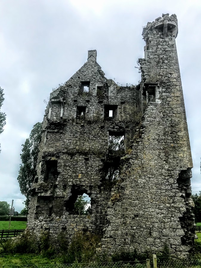 Enclosure in KilduffEnclosure · 268 yd
 E. O'Dwyerhouse · 344 yd
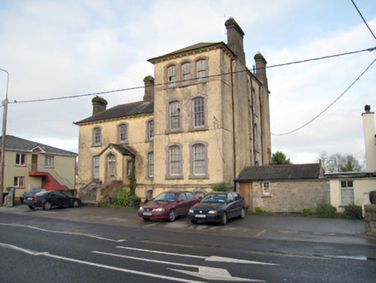 Pallas Grean Constabulary BarrackRIC barracks · 409 yd
 Kilduff Castle (in ruins)Castle, tower house · 590 yd
 Kilduff CastleCastle · 592 yd
 EnclosureEnclosure, large enclosure · 664 yd
 ToberagaddySpring · 807 yd
 KnockseefinMountain / peak · 1.1 mi
 St. Patrick's WellSpring · 3.7 mi
 Kilteely HillMountain / peak · 4.1 mi
 Graveyard in AbingtonGraveyard · 5.8 mi
 Flat cemetery in Knockainy WestFlat cemetery · 8.1 mi