What is recorded here
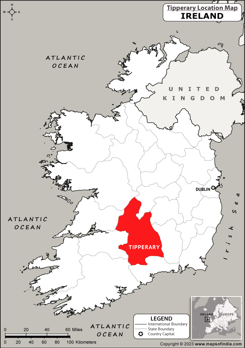
In grassland on a SE-facing slope of rising ground in upland region overlooking stream to SE. Ringfort consists of a circular area (int. diam. 41m N-S; 34m E-W) enclosed by a well-preserved earth and stone bank (top Wth 1.8m; base Wth 3m; int. H 0.15-0.5m; ext. H 1.7m) and outer fosse (base Wth 2m; top Wth 4m; ext. D 0.6-1m) with gaps (Wth 3m) in bank at NNE and W (Wth 2m). Bank reduced a scarp from NE through N to S and no evidence of a fosse at E but visible on all other sides (from S through W to NE). Traces of a low barely visible external bank (Wth 2m; H 0.1m) visible from NE through E to SE only not visible elsewhere. Bank intersected by a field boundary at NE, S and W as depicted on OS 6-inch map. Both gaps have the appearance of being later livestock entrances.
Compiled by: Jean Farrelly
Date of upload: 26 August 2011
The monument record does not grant public access. Check the route and ask the landowner before entering private land.
- What survives
- Recorded monument
Places near here
 Fulacht fia in BolintleaFulacht fia · 1187 yd
 IndicatedFairy fort / earthen ringfort · 1305 yd
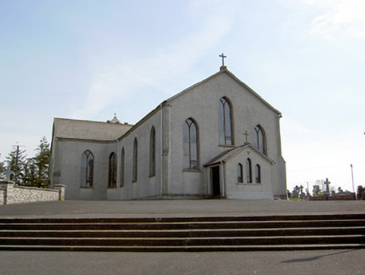 Catholic Church of the Assumptionchurch/chapel · 1418 yd
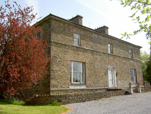 The Gleberectory/glebe/vicarage/curate's house · 1698 yd
 Ballingarry Castle (ruins)Archaeological place · 1731 yd
 Site of CastleCastle, unclassified · 1744 yd
 Warhouse HillMountain / peak · 1.6 mi
 Top Field at Carey'sForest · 2.0 mi
 Second Field on the HillForest · 2.1 mi
 Bregaun HillMountain / peak · 3.1 mi
 Kilcooly AbbeyHeritage attraction · 5.1 mi
 Derrynaflan TrailHeritage attraction · 6.7 mi