What is recorded here
Fairy fort in Galway: a 25-metre earthen ring on an east-facing slope, its scarped edge still standing a metre high where grass and shadow have swallowed the rest. The shallow fosse at the east and the dry-stone wall tangent at the west suggest a lived boundary, not a random heap of soil. Perhaps a family kept goats inside, or children dared each other to cross the ditch at dusk. The overgrowth does not hide the shape; it completes it, making the fort both measurable and mysterious.
In pasture, on E-facing slope. Roughly circular area (diam. c. 25m) defined by scarped edge, with external fosse (D 0.4m; Wth 3.4m) at E. Scarp (H 1.05m; Wth 2m), best preserved along E arc, lowers towards S (H 0.4m). Dry-stone field wall runs tangentially to site at W. Interior slopes down to E. Most of interior and enclosing element are covered by dense overgrowth.
Compiled by: Denis Power
Date of upload: 26 August 2011
The monument record does not grant public access. Check the route and ask the landowner before entering private land.
- What survives
- Recorded monument
Places near here
 Mill (in ruins)Mill, unclassified · 1675 yd
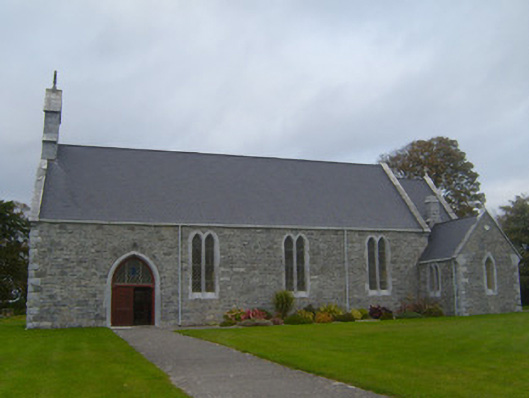 Saint Patrick's Catholic Churchchurch/chapel · 1.1 mi
 Sunday WellsHoly well · 1.3 mi
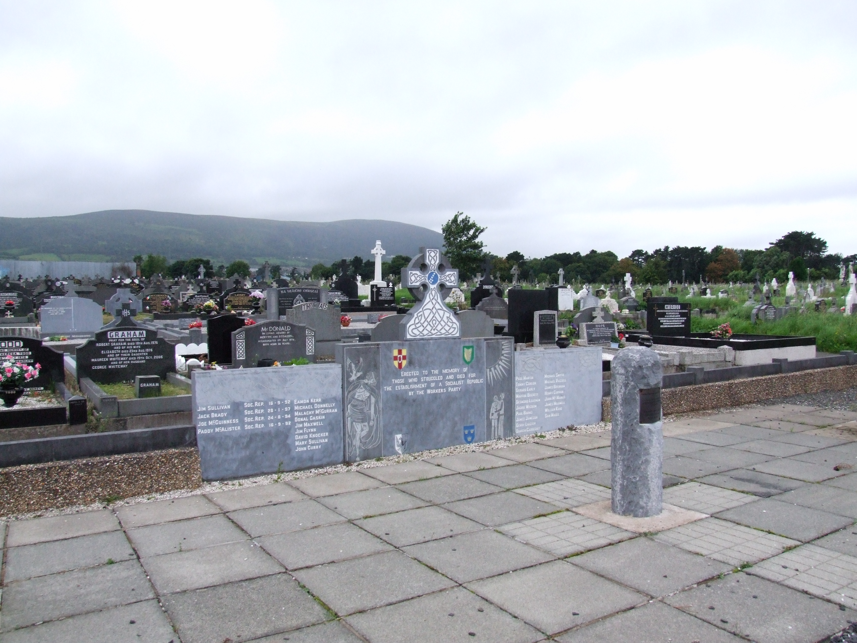 (Site of) Grave YardBurial ground · 1.4 mi
 Ballynash CastleCastle, unclassified · 1.7 mi
 Beagh Castle (in ruins)Castle, tower house · 2.1 mi
 Courtbrown PointHeadland · 2.2 mi
 Greenish IslandIslet · 2.3 mi
 Askeaton CastleHeritage attraction · 2.4 mi
 Holly IslandIslet · 2.6 mi
 Horse RockNamed rock · 3.4 mi
 European YewEuropean Yew · 3.7 mi