What is recorded here
Fairy forts are often called forts but may be burial or ceremonial grounds rather than defensive homes. This is an earthen ringfort in Gallgort, with two banks, ditches and a narrow causeway, preserved under a 1957 order. The name may reflect local belief more than military use.
In pasture, on E-facing slope of ridge. Circular area (37m N-S; 39m E-W), enclosed by two earthen banks, with intervening fosse, SE to NW and external fosse (D 0.3m), SE to W. Inner bank (H 1.8m) levelled N to ESE, and partly quarried. Outer bank greatly disturbed NNE to SE. Possible entrance (Wth 1.4m) on SE. Gap, with narrow causeway (Wth 1.9m), on NW.
The above description has been derived from D. Lavelle (compiler), An Archaeological Survey of Ballinrobe and District including Lough Mask and Lough Carra. Lough Mask and Lough Carra Tourist Development Association (1994), No. 166.
Date of upload: 24 January 2013
This monument is subject to a preservation order made under the National Monuments Acts 1930 to 2014 (PO no. 6/1957).
The monument record does not grant public access. Check the route and ask the landowner before entering private land.
- What survives
- Recorded monument
Places near here
 Enclosure in KnockacurreenEnclosure · 580 yd
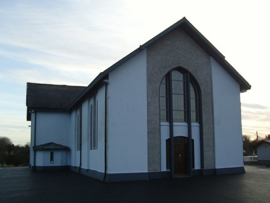 Saint Mary's Catholic Churchchurch/chapel · 719 yd
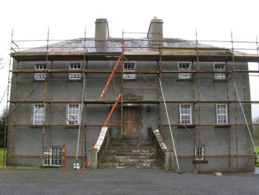 Carrownacon Housefarm house · 772 yd
 IndicatedFairy fort / earthen ringfort · 820 yd
 Lady's IslandIslet · 1.4 mi
 Cerberus, from Thomastown HouseMemorial · 1.4 mi
 Redgate ParkWood · 1.5 mi
 European hornbeamEuropean hornbeam · 1.5 mi
 Moore Hall Forest TrailWalking route · 1.5 mi
 Deer IslandIslet · 1.5 mi
 Wall of CastleBawn · 1.5 mi
 Castleburke in ruinsCastle, tower house · 1.5 mi