What is recorded here
Fairy fort in Friarstown North is an earthen ringfort on a south-west facing pasture slope in County Limerick. Its oval measure is twenty-three point seven metres east to west and twenty point six metres north to south, bounded by a scarp and a shallow fosse, with a faint outer bank remaining at the south-west edge. Cattle have poached the earth until the ridge feels less like a monument and more like a breath held under grass. People may have lived there, feared there, or simply passed around it with their hands full of milk and bread.
Situated on a SW-facing slope in rolling pasture c. 30m N of LI013-088. Heavily poached by cattle. Sub-oval area (23.7m E-W; 20.6m N-S) defined by a scarp (Wth. 3.85-4.8m; H 0.6-0.7m) and enclosed by a fosse (Wth. 2.3m; D 0.1m) from ESE to ENE. Traces of an external bank (ext. H 0.4m; Wth. 1.8m; int. H 0.1m) are visible in the SW. The interior slopes gently down to S.
The monument record does not grant public access. Check the route and ask the landowner before entering private land.
- What survives
- Recorded monument
Places near here
 Quarry in Friarstown NorthQuarry · 78 yd
 CastleCastle, ringwork · 181 yd
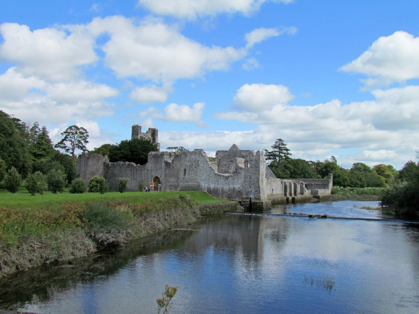 Man-made underground passage in Friarstown (clanwilliam By., Roxborough Ed)Man-made underground passage · 182 yd
 RoadRoad, road/trackway · 523 yd
 Enclosure in Parkroe (clanwilliam By.)Enclosure · 1032 yd
 Partially indicatedBawn · 1287 yd
 Villiers WellSpring · 1.8 mi
 Carnane RockNamed rock · 1.8 mi
 ToberauillinSpring · 1.9 mi
 European ashEuropean ash · 4.3 mi
 Limerick Seamen's MemorialMemorial · 4.9 mi
 Saint John Paul IIMemorial · 4.9 mi