What is recorded here
Fairy fort / earthen ringfort in Foulkstown is a fairy fort or earthen ringfort in Foulkstown, County Tipperary, Ireland. It occupies a south-facing slope in waterlogged pasture, enclosing a circular area 38.3 metres north-south and 36.4 metres east-west. A broad earthen bank surrounds the interior, reaching 2.09 metres inside and 1.68 metres outside, while a southern entrance runs southeast toward a nearby trackway.
On a S-facing slope in undulating, waterlogged pasture. A trackway (TS062-003003-) runs immediately SE of the ringfort. A barrow possible (TS062-003004-) is located c. 70m to the SE. Circular area (diam. 38.3m N-S; 36.4m E-W) enclosed by an earthen bank (Wth 13m; int. H 2.09m; ext. H 1.68m), higher upslope to N and reduced to scarp (Wth 3.1m; ext. H 0.9m) in the SW quadrant and outer fosse (Wth 2.8-3.6m; D 0.58-1.29m). Entrance feature (Wth 7.2m) in the SSW quadrant which runs off in a SE direction towards the adjacent trackway.
Compiled by: Jean Farrelly
Date of revised upload: 8 October 2014
The monument record does not grant public access. Check the route and ask the landowner before entering private land.
- What survives
- Recorded monument
Places near here
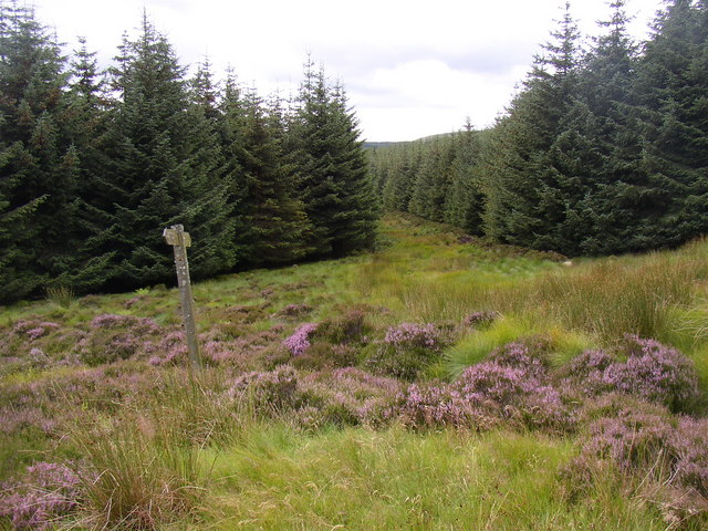 RoadRoad, road/trackway · 170 yd
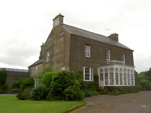 Beechmount Househouse · 892 yd
 MonumentArchaeological place · 1076 yd
 Enclosure in SilverfortEnclosure · 1285 yd
 Noan WoodWood · 1.7 mi
 CastleCastle, tower house · 1.7 mi
 Taylor's WoodWood · 1.7 mi
 Site of CastleCastle, unclassified · 1.8 mi
 Ballinure HillMountain / peak · 2.2 mi
 Gobban Saer's GraveArchaeological place · 4.3 mi
 Kilknockan HillMountain / peak · 4.5 mi
 East GateMemorial · 5.3 mi