What is recorded here
Fortland contains a thirty-three-metre circular earthwork with two banks and a deep central ditch. Its southeast entrance still shows a causeway between broken bank sections. The shape suggests people once lived inside, watched the land, or kept what they valued from losing it.
Raised circular area (int. diam. 33m) enclosed by two earthen banks with wide, deep intermediate fosse. A modern field boundary merges with the outer face of the counterscarp bank at SE. Breaks in banks with accompanying causeway at SE represents original entrance. (CUCAP ALJ 74)
The above description is derived from the published 'Archaeological Inventory of County Cavan' (Dublin: Stationery Office, 1995). In certain instances the entries have been revised and updated in the light of recent research.
Date of upload/revision: 22 December 2008
The monument record does not grant public access. Check the route and ask the landowner before entering private land.
- What survives
- Recorded monument
Places near here
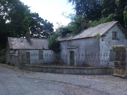 gate lodgegate lodge · 588 yd
 Four Half MoonsEnclosure · 769 yd
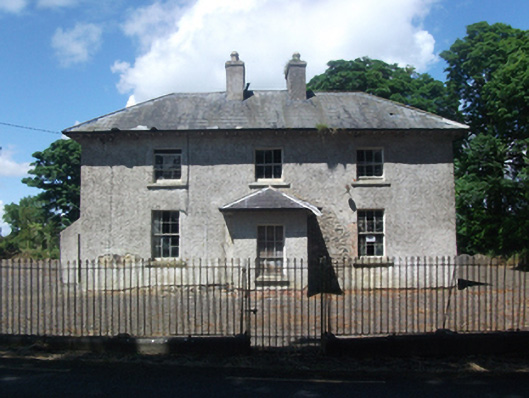 schoolschool · 1365 yd
 IndicatedFairy fort / earthen ringfort · 1620 yd
 CastleCastle, motte · 1668 yd
 Deer ParkWood · 1.2 mi
 In Loving Memory of Killian CaseyMemorial · 1.6 mi
 Crover Old Castle (in Ruins)Castle, tower house · 1.9 mi
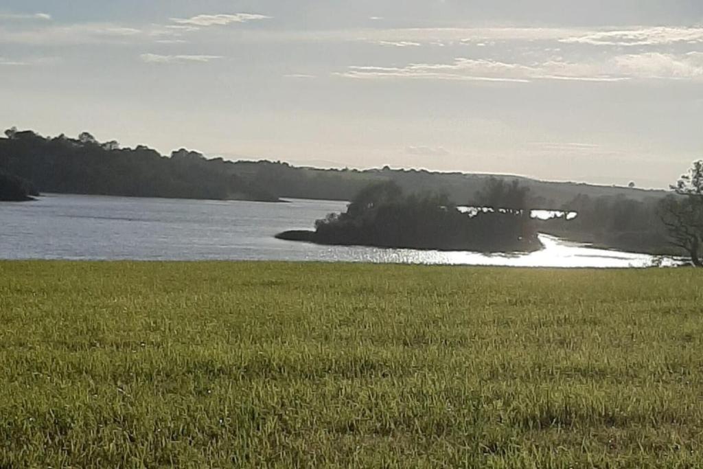 Dinner IslandIslet · 2.0 mi
 Crane IslandIslet · 2.1 mi
 Aghakilmore LowerMountain / peak · 2.1 mi
 Muldarry PointHeadland · 2.7 mi