What is recorded here
Fortland holds a thirty-eight-metre circular scar where human hands shaped earth into a defensible ring. The substantial bank and deep fosse still trace the boundary, while a northern break suggests the entrance used by those who lived inside. Fairy fort is the local name, but the structure is a human ringfort built to exclude, protect or occupy. The land remembers the shape even when the names have faded.
Raised circular area (int. diam. 38m) enclosed by a substantial earthen bank and a wide, deep fosse. Break in bank at N may represent original entrance. (CUCAP ALJ 77)
The above description is derived from the published 'Archaeological Inventory of County Cavan' (Dublin: Stationery Office, 1995). In certain instances the entries have been revised and updated in the light of recent research.
Date of upload/revision: 22 December 2008
The monument record does not grant public access. Check the route and ask the landowner before entering private land.
- What survives
- Recorded monument
Places near here
 Four Half MoonsEnclosure · 166 yd
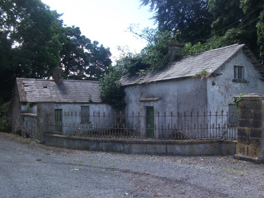 gate lodgegate lodge · 275 yd
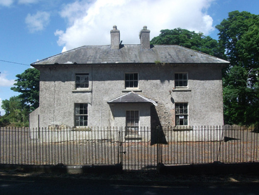 schoolschool · 1681 yd
 CastleCastle, motte · 1.0 mi
 IndicatedFairy fort / earthen ringfort · 1.1 mi
 In Loving Memory of Killian CaseyMemorial · 1.2 mi
 Deer ParkWood · 1.6 mi
 Crover Old Castle (in Ruins)Castle, tower house · 1.6 mi
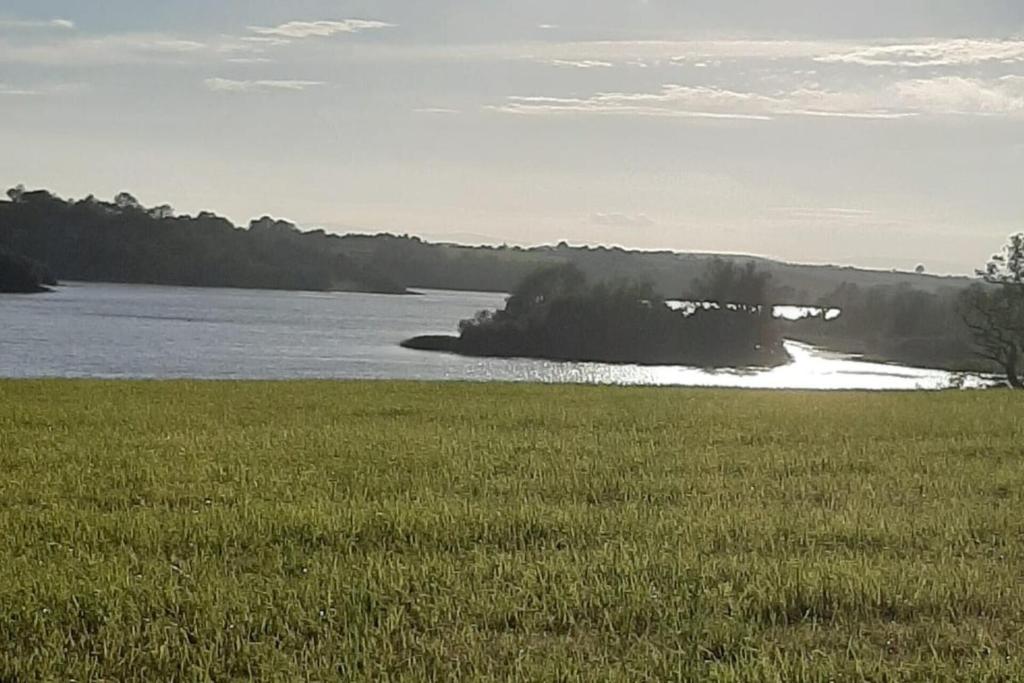 Dinner IslandIslet · 1.7 mi
 Stony IslandIslet · 1.8 mi
 Muldarry PointHeadland · 2.6 mi
 Ross BayBay · 2.6 mi