What is recorded here
Mortons and others may have built the earthen ring in Forgney before fairy labels obscured its human origin. They may have lived beside it, not inside it, using the ridge for visibility and the valley for grass. The fort still stands as a low circular scar in the landscape, waiting for someone to stop calling it mystical and ask who it belonged to.
On a steep-sided ridge in low-lying pasture. A raised subcircular platform (38.5m E-W; 36m N-S) defined by a steep scarp (H 1.6-2.2m). There is no trace of a fosse and the original entrance is not recognisable. The ground level of the platform is uneven. A possible house site (LF027-040002-) is associated.
Compiled by: Patrick F. O'Donovan
Date of upload: 18 June 2012
This remains an important historical record, but the official description says the monument is no longer visible or has been destroyed. The monument record does not grant public access. Check the route and ask the landowner before entering private land.
- What survives
- No visible remains or recorded as destroyed
Places near here
 Forgney Church (in Ruins)Church · 759 yd
 Grave YardGraveyard · 768 yd
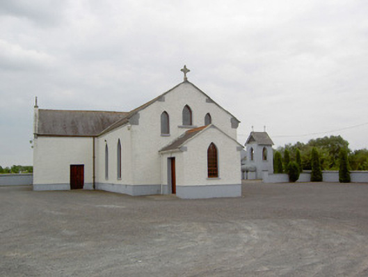 Catholic Church of the Immaculate Conceptionchurch/chapel · 974 yd
 St. Patricks WellHoly well · 1103 yd
 Craft WorkshopHeritage attraction · 1.5 mi
 Guest ServicesVisitor information · 1.5 mi
 Sessile OakSessile Oak · 1.8 mi
 Shinglis CourtCastle, unclassified · 1.9 mi
 Goldsmith Birthplace, PallasVisitor information · 2.2 mi
 Target WoodWood · 2.2 mi
 Newcastle WoodsForest · 2.5 mi
 Ballymulvey Ho.Castle, unclassified · 2.9 mi