What is recorded here
Fihoragh held a true fort on the highest drumlin point, marked clearly in 1837 before human hands or time smoothed the ridge flat. The lost circle measured nearly thirty metres across, large enough for a household, a herd, or a small defiant community watching the valley below. It vanished without a crater or drama, perhaps buried by soil, ploughs, or forgetfulness, leaving only a name and a ghost of a bank behind.
On the highest point of a prominent drumlin ridge. Depicted as a circular enclosure with the designation 'Fort' on the 1837 ed. of the OS 6-inch map. A report in 1976 (SMR file) recorded that, although levelled, the outline of a bank (Wth c. 4m) and an infilled external fosse (Wth c. 4m), enclosing a roughly circular area (diam. c. 29.5m), were still identifiable. Not visible at ground level.
Compiled by: Patrick F. O'Donovan
Date of upload: 11 January 2012
The monument record does not grant public access. Check the route and ask the landowner before entering private land.
- What survives
- Recorded monument
Places near here
 Fairy fort / earthen ringfort in FihoraghFairy fort / earthen ringfort · 1188 yd
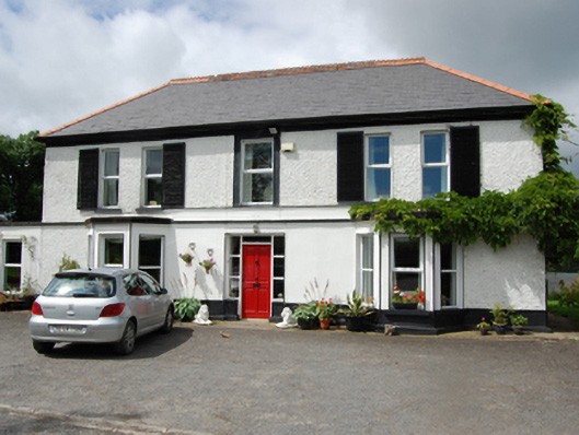 Holly Bankhouse · 1242 yd
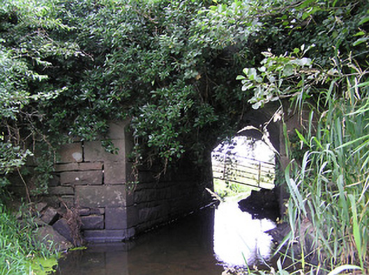 bridgebridge · 1435 yd
 Ticosker WoodWood · 1658 yd
 Portal tomb in BirrinaghPortal tomb · 1.4 mi
 CorlisbrattanMountain / peak · 1.5 mi
 CornaferstMountain / peak · 1.7 mi
 Gartylough Wet WoodlandWood · 1.8 mi
 CastleBawn · 2.7 mi
 Bawn in CastlepolesBawn · 3.1 mi
 North Midland Transport CollectionMuseum · 3.8 mi
 White IslandIslet · 3.8 mi