What is recorded here
Fairy fort in Fennor Upper is a circular earthen ringfort on an east-facing slope, its grass-covered interior measuring about forty-five metres across and bounded by a bank still standing nearly a metre high. The original entrance faces northeast, a narrow gap in the earth that may have admitted one person at a time, while a later field wall now reinforces the outer edge to the south and west. It is the kind of place where human urgency and fairy ambiguity overlap: a fort built for living, then abandoned to story, its purpose blurred by time and belief.
Situated on an E-facing slope. This is a circular grass-covered area (diam. 45m NNW-SSE; 45.5m ENE-WSW) defined by an earthen bank (Wth of base 4.5-5.5m; int. H 0.6-0.7m; ext. H 0.8-1.1m) with some bushes. There is no visible fosse but the original entrance (Wth of base 1.4m) is at NE. A field wall forms the outer facing of the bank S-WNW.
The above description is derived from the published 'Archaeological Inventory of County Meath' (Dublin: Stationery Office, 1987). In certain instances the entries have been revised and updated in the light of recent research.
Compiled by: Michel Moore
Date of revision: 31 October 2010
The monument record does not grant public access. Check the route and ask the landowner before entering private land.
- What survives
- Recorded monument
Places near here
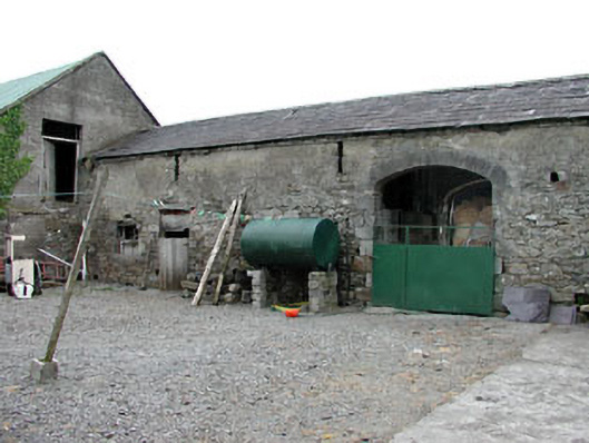 Liss Cottageoutbuilding · 930 yd
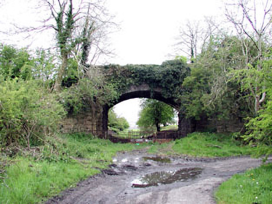 bridgebridge · 1074 yd
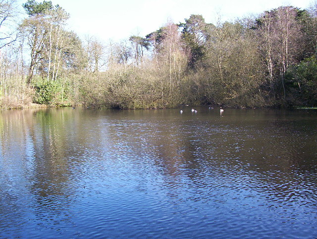 MoatFairy fort / earthen ringfort · 1221 yd
 Enclosure in OldcastleEnclosure · 1398 yd
 Fennor RockMountain / peak · 1755 yd
 Fennor LowerMountain / peak · 1.0 mi
 Memorial CrossMemorial · 1.3 mi
 Site of Old CastleCastle, unclassified · 2.0 mi
 CastleCastle, unclassified · 2.2 mi
 Drumlerry WetlandForest · 2.4 mi
 C11Named rock · 2.6 mi
 LoughcrewMegalithic tomb cemetery · 2.7 mi