What is recorded here
Fehanagh holds a broken earthen arc beside a children's burial ground, linking human loss and ordinary life on the lower slopes of Knockowen. The thin bank may have stretched beneath a farm road, suggesting a fort reduced to a ghost line while the dead kept their own boundary.
In pasture, on an elevation, on the lower N-facing slopes of Knockowen. An arc (C 16m) of a low earthen bank (Wth 3m; H 0.2m) is evident SW-NE. The NE and SW tips of the bank abut the external NE and SW corners of the wall of a children's burial ground (KE109-011001-). The bank may have originally continued NE-SW, where a farm road now exists.
The above description is derived from the published 'Archaeological Inventory of County Kerry. Volume I: South-West Kerry' (Dublin: Stationery Office, 2009). In certain instances the entries have been revised and updated in the light of recent research.
Date of upload: 30 May 2011
The monument record does not grant public access. Check the route and ask the landowner before entering private land.
- What survives
- Recorded monument
Places near here
 RoadRoad, unclassified togher · 946 yd
 SheepfoldEnclosure · 1716 yd
 Radial-stone enclosure in Cummers WestRadial-stone enclosure · 1722 yd
 KnockastumpaMountain / peak · 1.1 mi
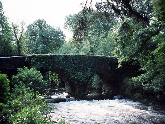 Lauragh Bridgebridge · 1.1 mi
 DrombohillyMountain / peak · 1.3 mi
 New Zealand broadleafNew Zealand broadleaf · 1.6 mi
 Japanese cedarJapanese cedar · 1.6 mi
 Duck RockIslet · 2.1 mi
 Crane IslandIslet · 2.2 mi
 DroppaCliff · 2.2 mi
 Gleninchaquin WaterfallWaterfall · 4.5 mi