What is recorded here
Situated at the base of a W-facing slope of rising ground in an upland area with a destroyed enclosure site (TN031-040) to the SW. A circular area (diam. 20m E-W) enclosed by a poorly preserved bank (Wth 1.5m; int. H 0.8m; ext. H 1m) best preserved at N, elsewhere reduced to a scarp with a possible destroyed entance gap at E. No visible trace of a fosse.
The above description is derived from 'The Archaeological Inventory of County Tipperary. Vol. 1 - North Tipperary' compiled by Jean Farrelly and Caimin O'Brien (Dublin: Stationery Office, 2002). In certain instances the entries have been revised and updated in the light of recent research.
Date of upload/revision: 22 September 2008
This remains an important historical record, but the official description says the monument is no longer visible or has been destroyed. The monument record does not grant public access. Check the route and ask the landowner before entering private land.
- What survives
- No visible remains or recorded as destroyed
Places near here
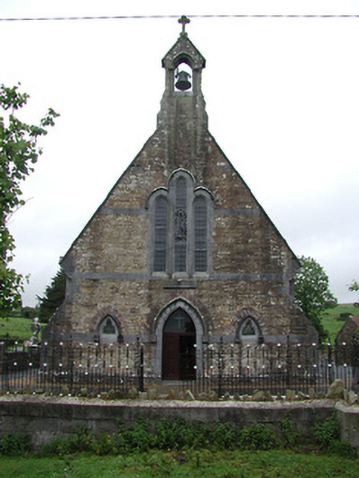 Saint Joseph's Catholic Churchchurch/chapel · 1556 yd
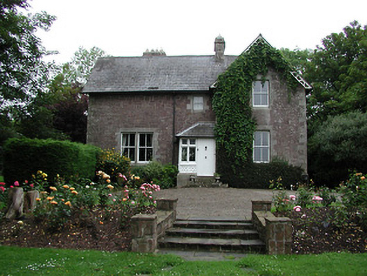 Glebe Houserectory/glebe/vicarage/curate's house · 1.0 mi
 Enclosure in Mackney (bourke)Enclosure · 1.3 mi
 St. Conans WellHoly well · 1.3 mi
 CastleCastle, ringwork · 1.4 mi
 Doonan's HillMountain / peak · 2.9 mi
 Tower (in Ruins)Bawn · 3.0 mi
 The Pollagh TrailNature reserve · 3.1 mi
 Ballyhourigan WoodsForest · 3.2 mi
 Boolatin TopMountain / peak · 3.7 mi
 My Next AdventureHeritage attraction · 4.3 mi
 Brian Boru Heritage CentreVisitor information · 4.4 mi