What is recorded here
No visible fort remains, though a twenty-two-metre mound still holds the memory of two ditches and small houses. A copper dress-pin and jew's harp recovered from the earth suggest someone lived there boldly during the twelve or thirteen century, not a fairy at all. The road now cuts across the place, reducing human history to a thin line of gravel and forgotten tools.
On a slight W-facing slope, in pasture, with moderate views in all directions, 55m E of a townland boundary with Rathbranagh. Not depicted as an antiquity on OS historic mapping. Monument identified as an enclosure (Site 28) during test excavations (Licence No. 97E0408) by Colin Gracie along the Croom bypass in 1997 and was described as a raised circular-shaped mound (diam. 22m). Test excavations revealed an infilled ditch (Wth 3.6m; D 1.2m) and an interior gravel surface of small stones upon which a plain copper-alloy dress-pin (diam. 4mm; L 80mm) (NMI Reg. No. 97E0408:1) was found that has been dated to the 12th-13th century (Gracie 1998). In 1999, Tracey Collins undertook limited excavations (Licence No. 97E0408 ext.) to facilitate two toe drains associated with the Croom bypass road (Collins 2000, 165-6). These excavations uncovered a wide inner U-shaped ditch (Wth 3.8m; D 0.9m) which encircled a platform (ibid). An outer ditch (Wth 9.9m; D 1.8m) was recorded c. 10m out from the inner ditch, on the S side of the monument (ibid). Excavations revealed that this ditch was recut twice, with the latter phase perhaps being associated with a field boundary (ibid). Two phases of activity were noted within the interior, both represented by U-shaped slot trenches which were interpreted as relating to probable houses. A Jew’s Harp and a fragment of medieval local ware were recovered during these partial excavations (ibid). New roadway runs N-S across this area, slightly W of centre. Not visible on Digital Globe orthophotos taken 2011-13 or on Google Earth orthoimages taken 28/06/2018.
See attached Google Earth orthoimage.
Compiled by: Alison McQueen and Vera Rahilly
Date of upload: 6 August 2020
The monument record does not grant public access. Check the route and ask the landowner before entering private land.
- What survives
- Recorded monument
Places near here
 Fanningstown Castle (in ruins)Castle, tower house · 821 yd
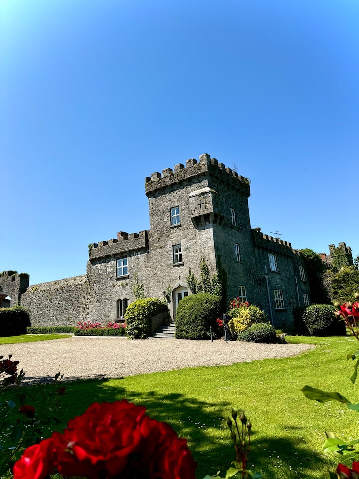
 Fanningstown Castlecountry house, castle/fortified house · 834 yd
 Old MillMill, unclassified · 928 yd
 OutlinedEnclosure · 979 yd
 BarrowBarrow, mound barrow · 1023 yd
 Site of CastleCastle, unclassified · 1.4 mi
 Biodiversity in the Maigue CatchmentVisitor information · 1.7 mi
 Dysert AenghusaHeritage attraction · 1.8 mi
 European ashEuropean ash · 2.4 mi
 GinkgoGinkgo · 2.4 mi
 Kinnoor WellSpring · 3.3 mi
 Monasteranenagh AbbeyHeritage attraction · 3.4 mi