What is recorded here
Fairy fort / earthen ringfort in Falleeny is a fairy fort or earthen ringfort in Falleeny, County Tipperary, Ireland. It occupies the north-east-facing slope of a hill in undulating pastureland. The site measures about 40 metres from north-west to south-east and has been levelled, though a faint outline of the ditch remains visible. A roadway and a field boundary now cut across the earthwork.
Situated on the NE-facing slope of a hill in undulating pastureland. The site (approx. diam. 40m NW-SE) has been levelled but the faint outine of the fosse is visible. A recently built roadway bisects the site on a NW-SE axis. On the current OS 6-inch map a NW-SE field boundary transects the S half of the site.
The above description is derived from 'The Archaeological Inventory of County Tipperary. Vol. 1 - North Tipperary' compiled by Jean Farrelly and Caimin O'Brien (Dublin: Stationery Office, 2002). In certain instances the entries have been revised and updated in the light of recent research.
Date of upload/revision: 22 September 2008
The monument record does not grant public access. Check the route and ask the landowner before entering private land.
- What survives
- Recorded monument
Places near here
 Enclosure in Knockfune (aghnameadle Par.)Enclosure · 700 yd
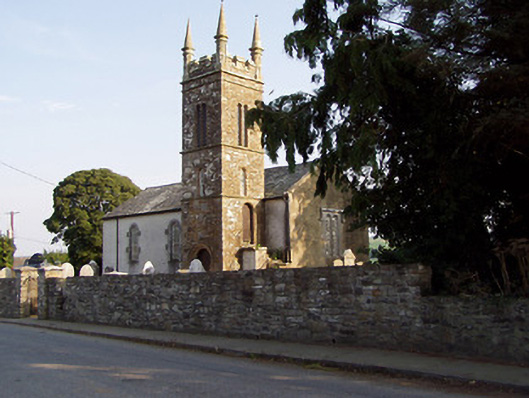 Templederry Churchchurch/chapel · 756 yd
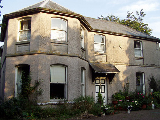 Otway Houserectory/glebe/vicarage/curate's house · 832 yd
 Enclosure in Shanballyard (aghnameadle Par.)Enclosure · 1107 yd
 Castle OtwayCastle, tower house · 1174 yd
 Killavalla WoodForest · 1340 yd
 Site of Cloghonan CastleCastle, unclassified · 1659 yd
 Knockadigeen HillMountain / peak · 1.2 mi
 Knockacraheen HillMountain / peak · 1.4 mi
 Kyleroe WoodWood · 5.7 mi
 Silvermines ViewpointViewpoint · 6.6 mi
 Our Lady Assumed into HeavenMemorial · 7.0 mi