
What is recorded here
This site encompasses both a steep and a more gentle incline on an E-facing slope in rolling pastureland. A large univallate enclosure (diam. 73m N-S; 71.5m E-W) defined by an earth and stone bank (Wth 3.5m; int. H 0.7m; ext. H 0.8m) and a U-shaped external fosse (Wth 4.5m; D 1.7m) with a narrow entrance at E (Wth 3m). The site is built at two levels - the W half slopes steeply to the E while the E half is on the break in slope with a further dip to the E in the E sector. There are a number of undulations in the lower/middle terrace but the clearly defined circular feature (c. 20m) visible on an aerial photograph taken in 1973 (GSIAP, R119/120), is not apparent (TN027-099002). An unusual site in regard to the sharply uneven nature of the interior surface.
The above description is derived from 'The Archaeological Inventory of County Tipperary. Vol. 1 - North Tipperary' compiled by Jean Farrelly and Caimin O'Brien (Dublin: Stationery Office, 2002). In certain instances the entries have been revised and updated in the light of recent research.
Date of upload/revision: 22 September 2008
A local fairy fort (ringfort/rath); wider significance not recorded.
The monument record does not grant public access. Check the route and ask the landowner before entering private land.
- What survives
- Recorded monument
Places near here
 Knockadigeen HillMountain / peak · 1011 yd
 Enclosure in Knockfune (aghnameadle Par.)Enclosure · 1037 yd
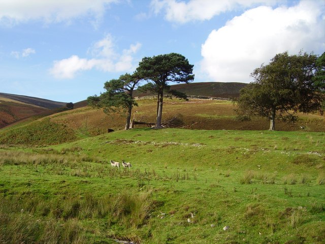 Hillfort in Cloghonan,knockadigeenHillfort · 1037 yd
 Killavalla WoodForest · 1085 yd
 Castle OtwayCastle, tower house · 1183 yd
 Site of Cloghonan CastleCastle, unclassified · 1753 yd
 Knockacraheen HillMountain / peak · 1.0 mi
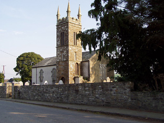 Templederry Churchchurch/chapel · 1.1 mi
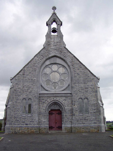 Catholic Church of the Immaculate Conceptionchurch/chapel · 1.1 mi
 Sweet ChestnutSweet Chestnut · 5.5 mi
 Silvermines ViewpointViewpoint · 6.1 mi
 Our Lady Assumed into HeavenMemorial · 6.4 mi
Other information
Photo: Credit not shown in the picture search · Rights wording not checked; contact us if this picture should be removed