What is recorded here
Half of Eyon's fairy fort still stands on the Mulkear floodplain, a raised oval platform with a broken ditch that once watched Brittas Castle across the water. The other half has been levelled or buried by drainage work and scrub, leaving only a ridge for memory to hold. People may have lived there, feared it, or simply passed it by; the earth keeps either version without complaint.
Situated on the floodplains of the Mulkear River to the W, overlooking Brittas Castle (LI014-058----) on W side of the river. Depicted on the 1897 OS 25-inch map as a raised sub-oval shaped platform (approx. dims. int. 20m NW-SE; ext. 36m NW-SE) defined by a fosse from NW through to W, spoil heap bank from river drainage scheme intersects the site from W to NW. Partially levelled monument described in 1964 (O’Dwyer 1964, 96) as ‘a platform 20 foot [6m] in diameter, 8 foot [2.4m] high. Encircled by a 12 feet [3.6m] wide ditch which has traces of an outer bank. Only about one third of the site remains’. Monument inspected in 2005 when it was recorded as heavily overgrown with scrub vegetation making detailed examination impossible. Monument not clearly visible on Google Earth orthoimage taken 2018.
See attached Google Earth orthoimage taken 28/06/2018
Compiled by: Fiona Rooney
Date of upload: 3 July 2020
The monument record does not grant public access. Check the route and ask the landowner before entering private land.
- What survives
- Recorded monument
Places near here
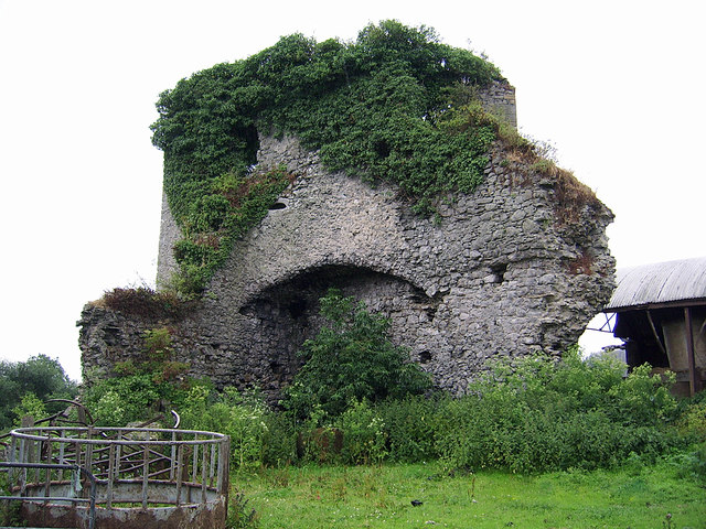
 Castle (in ruins)Castle, Anglo-Norman masonry castle · 82 yd
 Brittas Bridgebridge · 159 yd
 CastleCastle, motte and bailey · 236 yd
 Enclosure in BallyartEnclosure · 818 yd
 Eyon Housecountry house · 883 yd
 Enclosure in Castle-Erkin NorthEnclosure · 1169 yd
 Graveyard in AbingtonGraveyard · 1.9 mi
 Sliev Felim WayVisitor information · 3.0 mi
 KnockseefinMountain / peak · 3.7 mi
 ToberagaddySpring · 4.5 mi
 Slieve Felim WayWalking route · 5.3 mi
 St. Patrick's WellSpring · 5.6 mi