What is recorded here
Mud and memory build the same shape. Twenty-seven metres of packed earth still stand in Eskerboy grass, marked by a narrow NE gap and hidden beneath whitethorn. The fort is small enough to walk quickly, yet large enough to keep a life inside. That is why it remains visible: human hands made it, and every later storm has been forced to remember the shape.
In level grassland. Circular rath (diam. 27m), in fair condition, defined by a bank which is overgrown with whitethorn bushes. A gap (Wth 1.5m) at NE may be original. Field banks run to the W and S of the site.
Compiled by: Galway Archaeological Survey, UCG
Date of upload: 12 December 2017
The monument record does not grant public access. Check the route and ask the landowner before entering private land.
- What survives
- Recorded monument
Places near here
 Colgans FortFairy fort / earthen ringfort · 981 yd
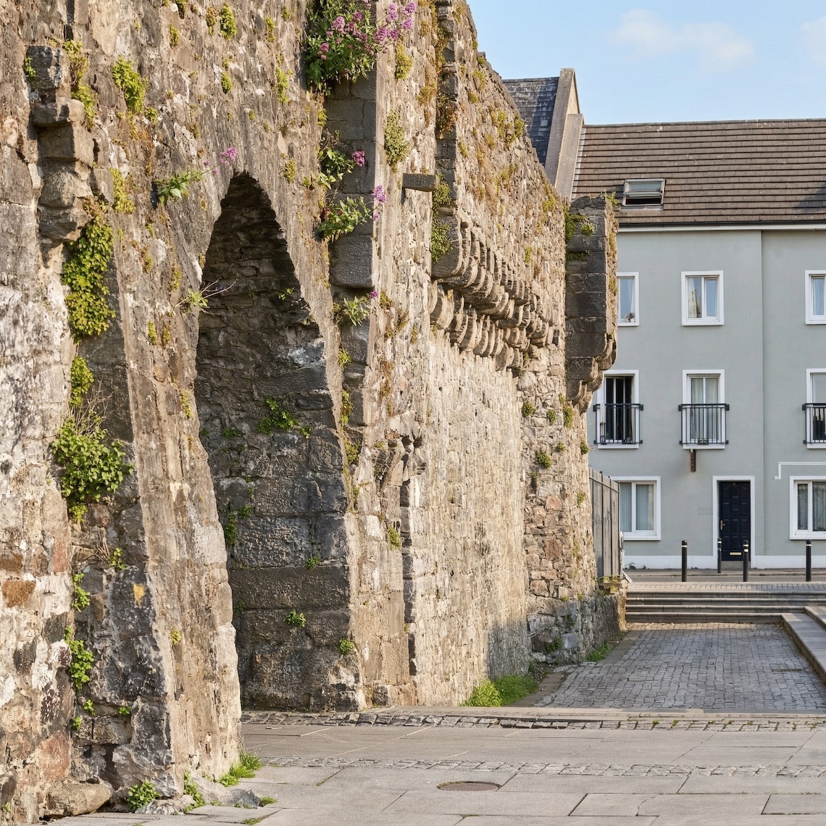 Eskerboy FortFairy fort / earthen ringfort · 1350 yd
 Quarry in ClaremaddenQuarry · 1682 yd
 AbbeyReligious house, Augustinian canons · 1.3 mi
 MoatCastle, motte and bailey · 2.0 mi
 Bawn in Cooltymurraghy (clonmacnowen By.)Bawn · 2.7 mi
 European YewEuropean Yew · 3.8 mi
 European BeechEuropean Beech · 4.0 mi
 The bloody HollowHeritage attraction · 5.4 mi
 Battle of AughrimMajor battlefield · 5.5 mi
 Battle of Aughrim Interpretative CentreMuseum · 6.0 mi
 Urraghry HillMountain / peak · 6.1 mi