What is recorded here
Fairy fort / earthen ringfort in Erris is a fairy fort or earthen ringfort in Erris, County Roscommon, Ireland. It occupies the bottom of a northeast-facing slope and measures twenty-five metres across. An earthen bank and scarp define its edge, while excavation recovered a missing southwest fosse. A burnt mound lies just northwest of the ring.
Towards the bottom of the NE-facing slope of a rise. Circular overgrown area (diam. 25m) defined by an earthen bank (Wth 3-3.75m; int. H 0.1-0.25m; ext. H 0.3-0.8m) W-NE and by a scarp (H 0.3-0.8m) elsewhere. There is no visible fosse or entrance, although a fosse (Wth c. 4m; D c. 2m) at SW was recovered in excavation (O' Riordain 1990b; Channing 1994a). Burnt mound (RO006-033002-) was identified just to the NW.
Compiled by: Michael Moore
Date of upload: 24 August 2010
The monument record does not grant public access. Check the route and ask the landowner before entering private land.
- What survives
- Recorded monument
Places near here
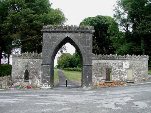 Rockingham Housegate lodge · 177 yd
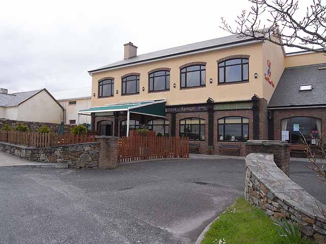 TobernadrinneyHoly well · 476 yd
 TemplenadrineyChurch · 529 yd
 OmdocatedFairy fort / stone ringfort · 951 yd
 Erris BayBay · 1270 yd
 Bingham IslandIslet · 1509 yd
 Boyle AbbeyHeritage attraction · 1704 yd
 Trinity IslandIslet · 1.1 mi
 King William MemorialMonument · 1.1 mi
 Lough Key Forest ParkWood · 1.2 mi
 Western RedcedarWestern Redcedar · 1.5 mi
 Horse-chestnutHorse-chestnut · 1.6 mi