What is recorded here
Enniscoush holds a genuine earthen ringfort, not a fairy tale, though local legend still claims the fairies took it over after people stopped living there. The circular bank stands twenty-two centimetres high outside and six inside, with stone facing visible along part of the southeast-to-northwest edge. An eight-metre dip breaks the bank at the east-southeast, perhaps a gateway, perhaps merely collapse. Cattle graze within it now, stepping through a doorway that may have opened onto human kitchens, hearths and arguments centuries before anyone called it a fairy fort.
In pasture, on E-facing slope. Roughly circular area (38m N-S; 42m E-W) enclosed by earthen bank (int. H 0.6m; ext. H 2.2m). Bank is best preserved SE->NW where there are remains of an external stone facing. It is incorporated into farm-passage boundary WNW->NNE. Dip in bank (ext. H 0.8m) at ESE (Wth 8.4m). Interior, under pasture, slopes down to ESE. Bank abutted by field boundary at SE.
Compiled by: Denis Power
Date of upload: 26 August 2011
The monument record does not grant public access. Check the route and ask the landowner before entering private land.
- What survives
- Recorded monument
Places near here
 RathkealeFairy fort / earthen ringfort · 371 yd
 Mount Southwellcountry house · 408 yd
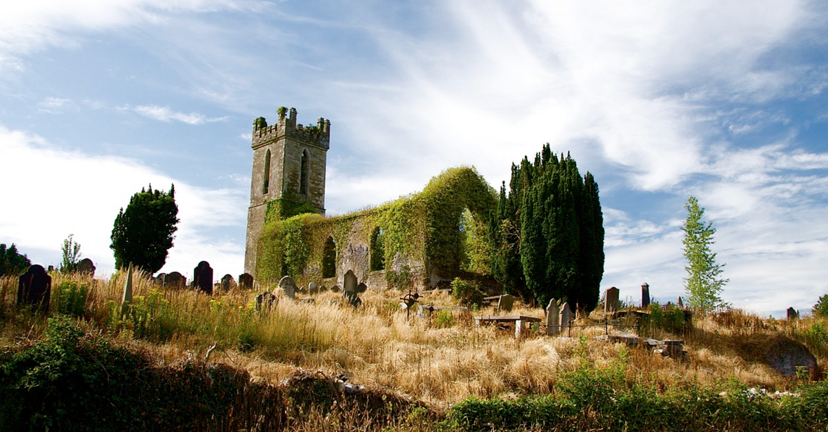 Grave YardGraveyard · 528 yd
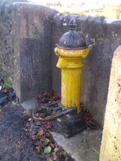 water pumpwater pump · 534 yd
 Glebe CastleCastle · 674 yd
 Castle MatrixCastle, tower house · 1162 yd
 TobernablahySpring · 1.6 mi
 European ashEuropean ash · 2.0 mi
 St. Kieran's WellSpring · 2.6 mi
 Flat cemetery in CroaghFlat cemetery · 3.2 mi
 Flat cemetery in Kiltenan SouthFlat cemetery · 4.7 mi
 Holy Trinity Ch.Church · 540 yd