What is recorded here
Fairy fort in Enaghan, County Longford: a substantial earth and stone bank, 7.5m wide and 1.35m high, still encloses a roughly oval area on a drumlin ridge. The external fosse is visible only from northwest through east, while a six-metre break at the east-northeast probably marked the entrance. People may have lived there, excluded others, and disappeared into pasture; the ring remains large enough to keep wondering alive.
On top of a N-S drumlin ridge in pasture. A raised roughly oval area (34.5m E-W; 31.5m N-S) enclosed by a substantial bank of earth and stone (Wth 7.5m; H 1.35m) and an external fosse (Wth 2.5-3.5m; D 0.3m), which is identifiable only from NW-N-E. A break (Wth 6m) in the bank at ENE probably marks the original entrance.
Compiled by: Patrick F. O'Donovan
Date of upload: 26 August 2011
A fairy fort / earthen ringfort in Enaghan is a likely early-medieval defensive or domestic site, characterized by a raised oval enclosure with a wide earth-and-stone bank and an external fosse. Local tradition associates such sites with fairy lore, often considering them portals to the Otherworld or the homes of supernatural beings.
The monument record does not grant public access. Check the route and ask the landowner before entering private land.
- What survives
- Recorded monument
Places near here
 Burnt spread in EnaghanBurnt spread · 586 yd
 CastleBawn · 1260 yd
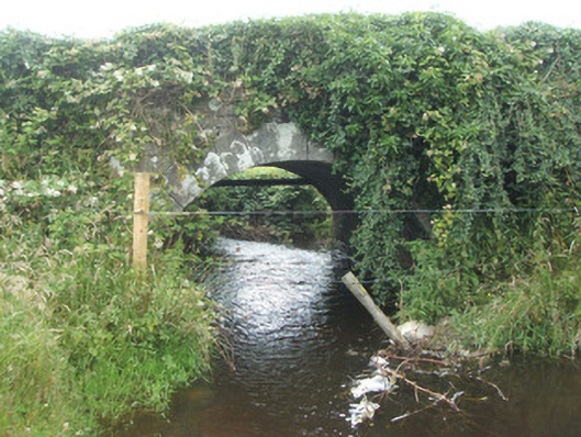 bridgebridge · 1303 yd
 White IslandIslet · 1419 yd
 Lisraherty Bog WoodlandWood · 1.0 mi
 Arnaghan NorthMountain / peak · 1.1 mi
 Scrabby Hill FortArchaeological place · 1.6 mi
 Arnaghan SouthMountain / peak · 1.7 mi
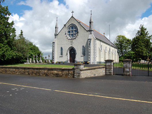 Church of the Holy Familychurch/chapel · 1.8 mi
 Cloone Ho.Castle, unclassified · 1.9 mi
 Scrabby IslandIslet · 2.1 mi
 Mulrick WoodlandForest · 2.2 mi