What is recorded here
Fairy fort in Enagh, County Cavan: an earthen ringfort hidden inside dense wood on a high ridge beside a river, marked Fort on the 1836 and 1876 maps but no longer visible at ground level. It may have been a dwelling, a boundary marker or a place people avoided after dark; the woods kept its shape while memory stopped repeating its name.
Marked 'Fort' on OS 1836 and 1876 eds. Situated within a densely wooded area on a natural ridge of high ground close to a river. Not visible at ground level.
The above description is derived from the published 'Archaeological Inventory of County Cavan' (Dublin: Stationery Office, 1995). In certain instances the entries have been revised and updated in the light of recent research.
Date of upload/revision: 22 December 2008
A fairy fort or earthen ringfort in Enagh, likely dating to the early medieval period, is marked as 'Fort' on Ordnance Survey maps from 1836 and 1876. Situated on a high ridge near a river and surrounded by dense woodland, it is associated with local folklore regarding fairy activity and otherworldly beings, common to many such sites in Irish tradition.
The monument record does not grant public access. Check the route and ask the landowner before entering private land.
- What survives
- Recorded monument
Places near here
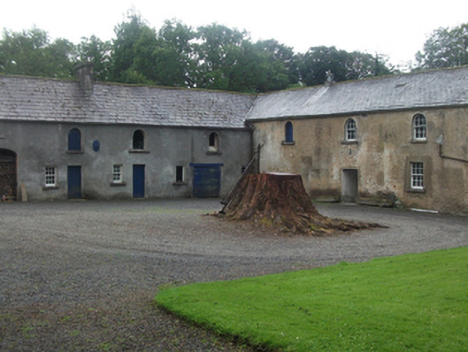 Farren Connellstables · 1155 yd
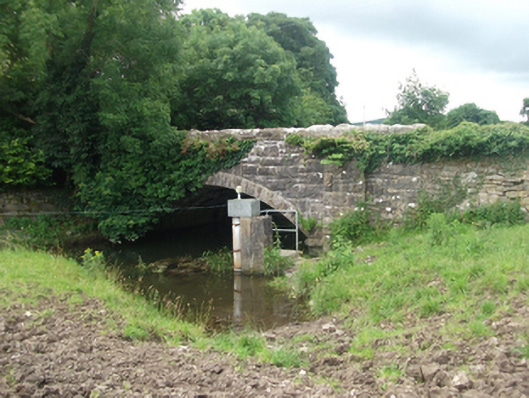 Ballinrink Bridgebridge · 1199 yd
 Enclosure in BobsgroveEnclosure · 1421 yd
 Bob's GroveForest · 1483 yd
 IndicatedFairy fort / earthen ringfort · 1.3 mi
 Ross CastleCastle, tower house · 1.5 mi
 MullaghmeenMountain / peak · 1.6 mi
 CastleCastle, unclassified · 1.8 mi
 Mullaghmeen White WalkWalking route · 1.8 mi
 Inchicup IslandIslet · 1.9 mi
 Mullaghmeen Red WalkWalking route · 1.9 mi
 Ross BayBay · 2.0 mi