What is recorded here
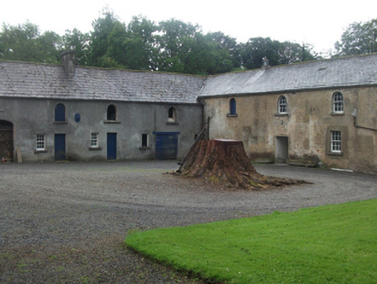
Detached L-plan multiple-bay two-storey outbuilding complex, built c.1760, with additional single-storey outbuilding, two-bay two-storey garden building, and late-nineteenth century extensions. Pitched slate roofs with clay ridge tiles to main block and garden building, corrugated-iron to nineteenth-century outbuilding to west. Two red brick chimneystacks to north range, single rendered chimneystack to south range and to gable of garden building, cast-iron rainwater goods. Red brick eaves course, random rubble walls with lime-washed roughcast render, and cast-iron tie plates. Round- and square-headed window openings to north and east elevations of main block with six-over-six timber sash windows with ogee horns, others having timber louvers. Semi-circular openings to first floor with single pane, half-dormer windows to west and south elevations with timber bargeboards, all with tooled limestone sills. Square-headed door openings with timber battened doors, some having timber lintels and dressed limestone surrounds. Integrated carriage arches with limestone thresholds. Timber-battened stall doors. Further ruined rubble stone outbuilding to west with limestone lintels and keystones. Octogonal-plan former water feature with cut limestone surround to courtyard. Rubble stone boundary walls abutting gabled ends.
Located in close proximity to the house its serves, Farren Connell, the seat of the Nugent family since the late seventeenth century, this group is of particular architectural quality. The first edition Ordnance Survey map of 1836 shows a third range to the north and further outbuildings to the west, though these have disappeared by the early twentieth century third edition. The buildings are distinguished by round-headed sash windows, semi-circular and half-dormer windows, fine limestone detailing, and ochre-tinted lime wash. The complex of outbuildings with living quarters over the north range provides interesting insight into the workings of a substantial country estate. The buildings from a significant architectural ensemble with the main house.
From the Buildings of Ireland (National Inventory of Architectural Heritage) record 40404206
This does not grant access. Most recorded buildings are privately owned; view them only from public ground unless the owner allows entry.
Places near here
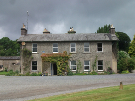 Farren ConnellCountry house · 36 ydEnclosure in BobsgroveEnclosure · 331 ydBob's GroveForest · 884 yd
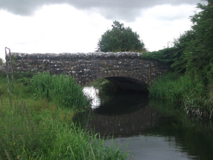 Ross BridgeBridge · 1016 yd
 Ross CastleCastle, tower house · 1663 ydInchicup IslandIslet · 1.3 miWall IslandIslet · 1.4 miRoss BayBay · 1.5 mi
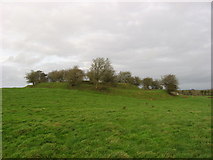 Fairy fort / earthen ringfort in Garrysallagh (o'reilly)Fairy fort / earthen ringfort · 1.6 miMuldarry PointHeadland · 1.7 miCrover Old Castle (in Ruins)Castle, tower house · 1.9 mi
 MullaghmeenMountain / peak · 2.0 mi
Pictures: National Inventory of Architectural Heritage; Mike Searle, Geograph · CC BY-SA 2.0; Kieran Campbell, Geograph · CC BY-SA 2.0; Gavigan 01 at English Wikipedia, Wikimedia Commons · CC BY 2.5
More historic places in County Cavan · All of County Cavan
What do you know about this place?