What is recorded here
Situated on a slight rise in flat grassland with good views to the S. Ringfort (WM010-004---) 120m to NW. Poorly preserved much denuded monument consisting of a circular shaped area (approx. diam. 30m) enclosed by a low bank only visible from W-N, elsewhere it has been levelled. Outline of levelled monument visible on Digital Globe aerial photograph taken November 2011.
See attached profile of monument surveyed and drawn by the ASI.
Compiled by: Frank Coyne and Caimin O'Brien
Date of upload: 7 June 2017
The monument record does not grant public access. Check the route and ask the landowner before entering private land.
- What survives
- Recorded monument
Places near here
 Hachured, RathduffFairy fort / earthen ringfort · 567 yd
 Bawn in EmperBawn · 855 yd
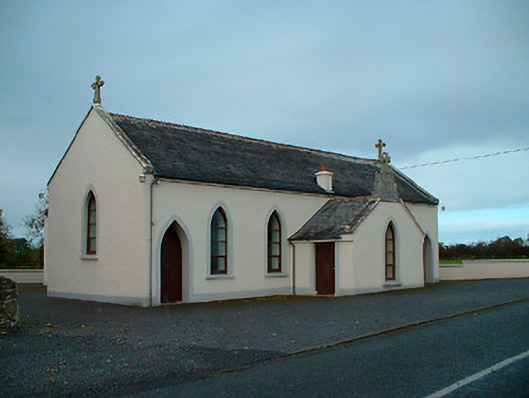 Saint Matthew's Catholic Churchchurch/chapel · 1586 yd
 OutlinedHoly well · 1683 yd
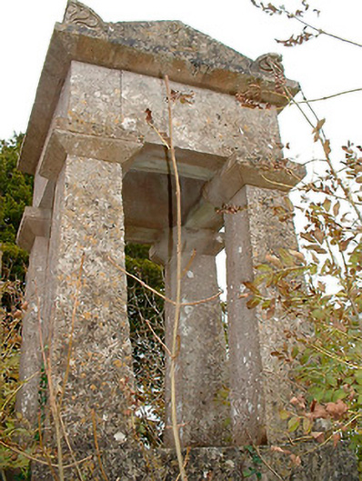 graveyard/cemeterygraveyard/cemetery · 1.2 mi
 Site of CastleCastle, unclassified · 1.2 mi
 ShawbrookForest · 1.9 mi
 Common AlderCommon Alder · 1.9 mi
 Abbeyshrule AbbeyRuins · 3.5 mi
 Graveyard in Curry (ardagh By., Coolamber Ed)Graveyard · 12 mi
 First World War MemorialMemorial · 12 mi
 Saint Mel's CathedralCathedral · 12 mi