What is recorded here
Edenburt once held a circular earthen fort with a buried ditch, but human hands levelled the bank and erased the entrance. The clay still remembers the shape even though no stone or ridge remains for a stranger to touch.
An earlier report (OPW 1969) described a raised circular area enclosed by an earthen bank and the remains of a fosse. Original entrance was not recognisable. Site has been levelled. Not visible at ground level.
The above description is derived from the published 'Archaeological Inventory of County Cavan' (Dublin: Stationery Office, 1995). In certain instances the entries have been revised and updated in the light of recent research.
Date of upload/revision: 22 December 2008
The monument record does not grant public access. Check the route and ask the landowner before entering private land.
- What survives
- Recorded monument
Places near here
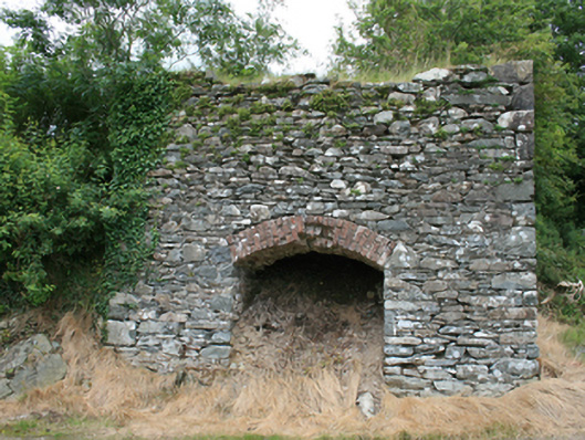 kilnkiln · 1387 yd
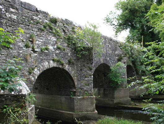 O'Daly's Bridgebridge · 1671 yd
 Mote of DerverArchaeological place · 1.3 mi
 FortsCastle, motte and bailey · 1.3 mi
 IslandboyIslet · 1.8 mi
 EnclosureEnclosure, large enclosure · 1.8 mi
 Stony IslandIslet · 2.1 mi
 Cloghbally LowerMountain / peak · 2.1 mi
 Feegat ForestWood · 2.2 mi
 Balgree MoteCastle, motte · 2.2 mi
 Ballyhist WoodWood · 2.4 mi
 IslandMountain / peak · 2.7 mi