What is recorded here
Marianne and her children followed the red road to Edenburt, hearing about the hidden fortress before they ever saw it. They walked past ordinary fields until the land rose into a round ring, its earth bank still holding the shape of a forgotten home. Marianne touched the soil and imagined the people who lived there, while her children ran around the circle like tiny guards.
Raised circular area (int. diam. c. 24m) enclosed by a low bank of earth and stone. A modern field fence has been built against the bank at NW. Original entrance may have been at N.
The above description is derived from the published 'Archaeological Inventory of County Cavan' (Dublin: Stationery Office, 1995). In certain instances the entries have been revised and updated in the light of recent research.
Date of upload/revision: 22 December 2008
The monument record does not grant public access. Check the route and ask the landowner before entering private land.
- What survives
- Recorded monument
Places near here
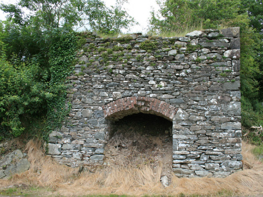 kilnkiln · 1688 yd
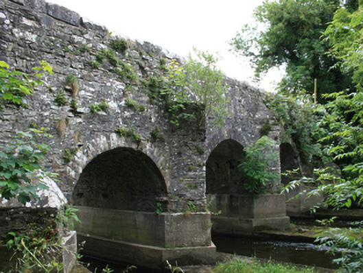 O'Daly's Bridgebridge · 1.1 mi
 Mote of DerverArchaeological place · 1.5 mi
 FortsCastle, motte and bailey · 1.5 mi
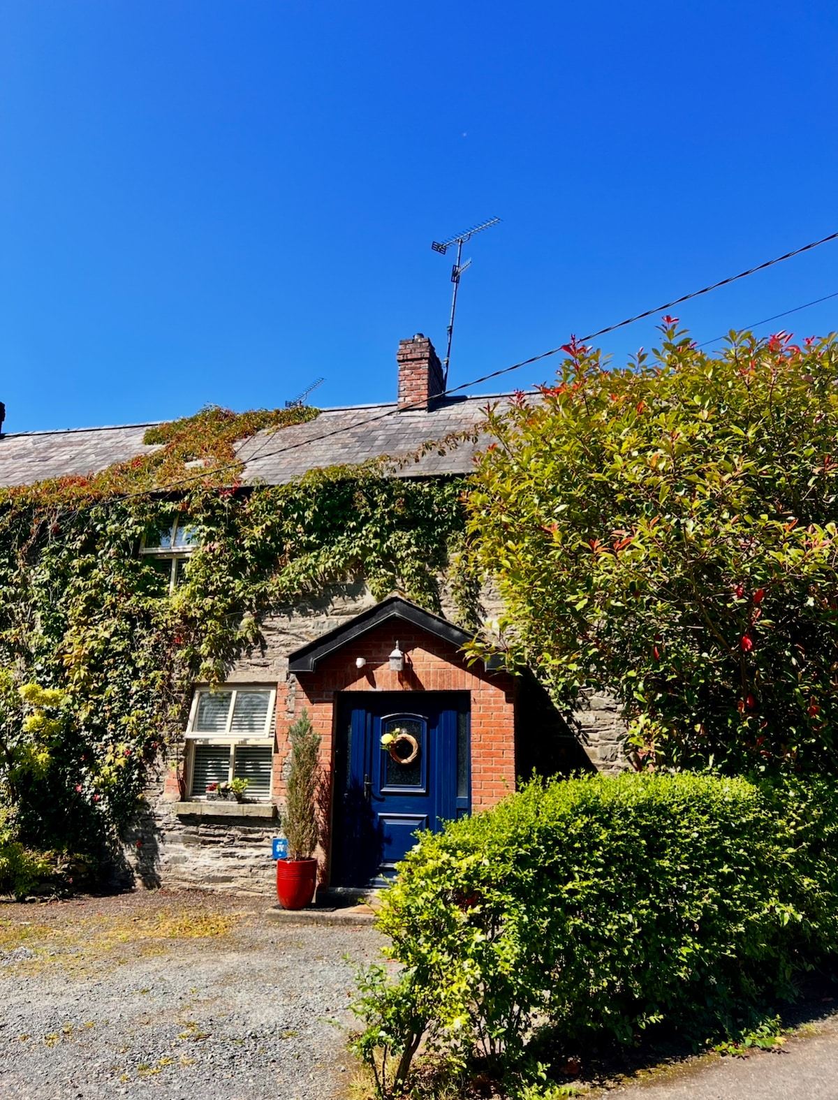 IslandboyIslet · 1.6 mi
 EnclosureEnclosure, large enclosure · 1.9 mi
 Stony IslandIslet · 1.9 mi
 Cloghbally LowerMountain / peak · 2.1 mi
 Balgree MoteCastle, motte · 2.3 mi
 Feegat ForestWood · 2.4 mi
 Ballyhist WoodWood · 2.4 mi
 IslandMountain / peak · 2.5 mi