What is recorded here
Half a kilometre from the main road, a buried ring rises from the grass. It is not a castle, not a temple, not even a complete circle. The earth has taken back most of it, leaving only a shallow dish and a faint ridge that might have been a wall. What is missing matters more than what remains. The shape is gone, but the boundary is still there, marking the place where human hands last opposed the patience of soil.
Located on top of a drumlin. This is a subcircular grass-covered area (dims 37m NW-SE; 33m NE-SW) defined by a slight earthen bank or overgrown scarp (H c. 2m) separated by a fosse (Wth of top c. 3.5m) S-W-E from an outer earthen bank incorporated into a field bank S-NW. The original entrance may have been at SE where the defences have been removed E-S, and there is a modern drain outside the outer bank SSW-NW.
The above description is derived from the published 'Archaeological Inventory of County Monaghan' (Dublin: Stationery Office, 1986). In certain instances the entries have been revised and updated in the light of recent research.
Revised by: Michael Moore
Date of revision: 29 January 2018
The monument record does not grant public access. Check the route and ask the landowner before entering private land.
- What survives
- Recorded monument
Places near here
 Lisarrilly HillMountain / peak · 8 yd
 LisarrillyFairy fort / earthen ringfort · 486 yd
 Roosky Castle (Site of)Castle, ringwork · 856 yd
 IndicatedCrannog · 1180 yd
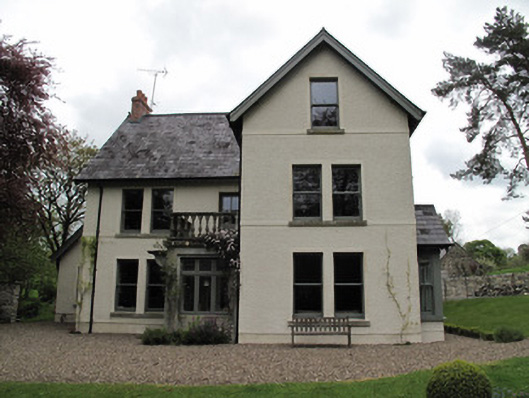 Millviewmill manager's house · 1397 yd
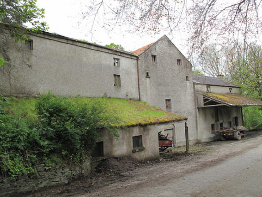 Historic buildingOfficially recorded historic building · 1452 yd
 Jaundice WellSpring · 2.3 mi
 Common LimeCommon Lime · 2.7 mi
 KillycoonaghWood · 2.7 mi
 Saint John's WellSpring · 2.9 mi
 Tomb HillMountain / peak · 3.5 mi
 Dagda's CauldronHeritage attraction · 5.0 mi