What is recorded here
Dunrora’s ringfort is a raised circular area forty-six metres across, enclosed by a low earthen bank and shallow ditch. Its south-western causeway marks the entrance, yet the site became a tree plantation instead of a home or shrine. The fort still holds its shape beneath growing things, waiting for someone to walk the causeway and remember what the bank was built to keep inside.
Raised circular area (int. diam. 46.2m) enclosed by a low earthen bank and narrow, shallow fosse. Break in bank with accompanying causeway at SW presumably represents original entrance. The site was formerly utilised as a tree plantation.
The above description is derived from the published 'Archaeological Inventory of County Cavan' (Dublin: Stationery Office, 1995). In certain instances the entries have been revised and updated in the light of recent research.
Date of upload/revision: 22 December 2008
The monument record does not grant public access. Check the route and ask the landowner before entering private land.
- What survives
- Recorded monument
Places near here
 European YewEuropean Yew · 647 yd
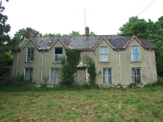 Killynurehouse · 730 yd
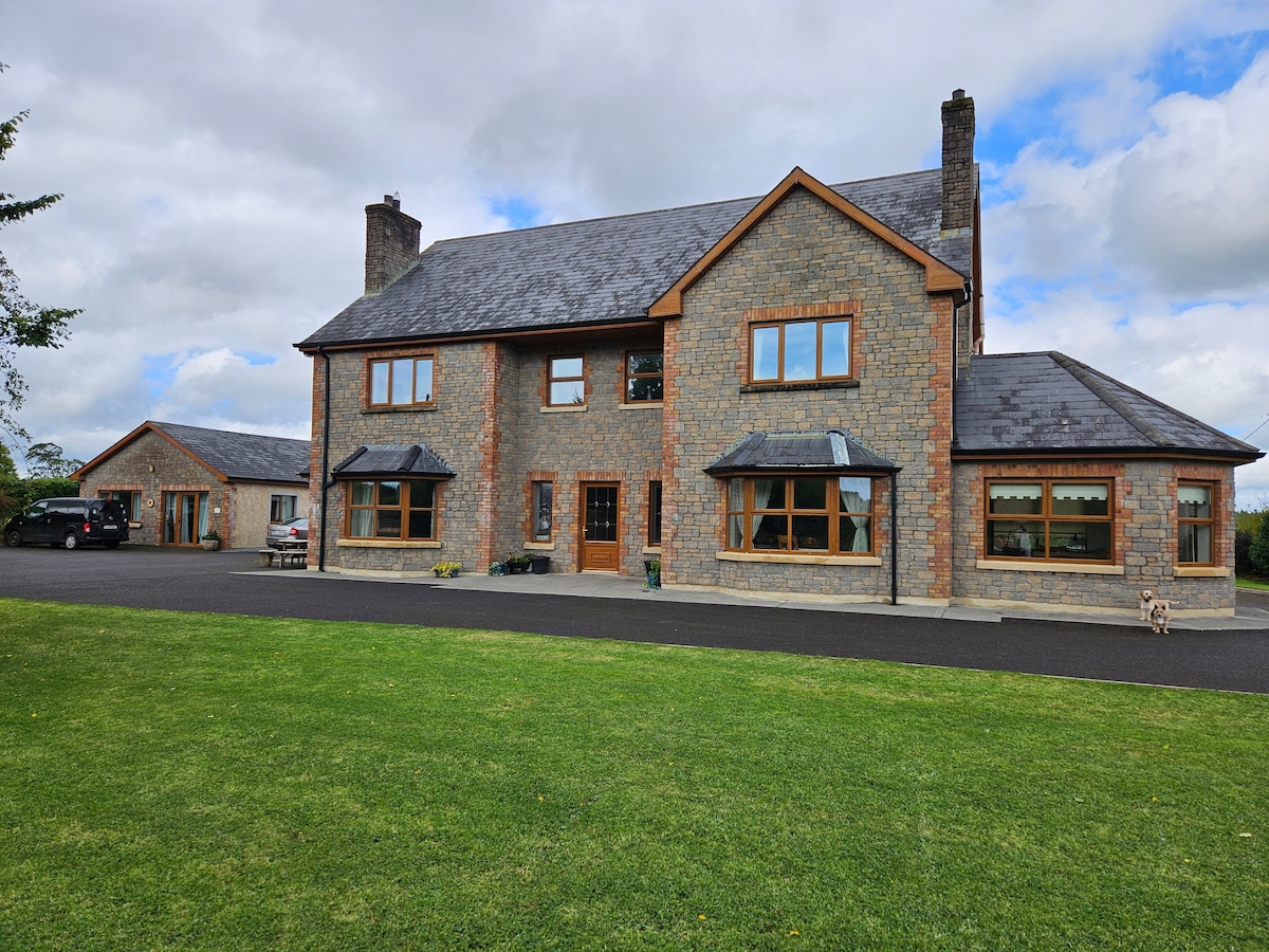 StoneparkWood · 740 yd
 RuinsHouse, fortified house · 872 yd
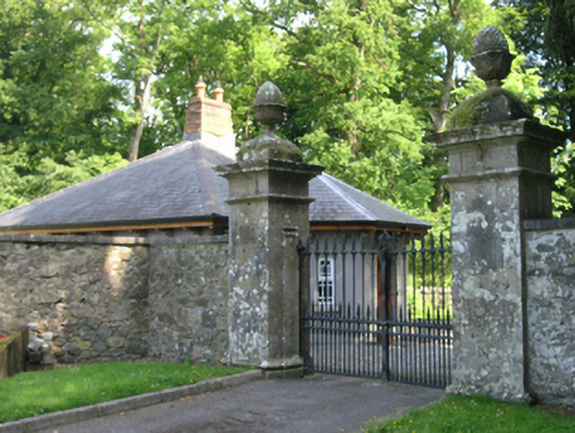 Red Hillsdemesne walls/gates/railings · 997 yd
 Holy WellHoly well · 1317 yd
 DrumakeenanMountain / peak · 1374 yd
 IndicatedEcclesiastical enclosure · 1393 yd
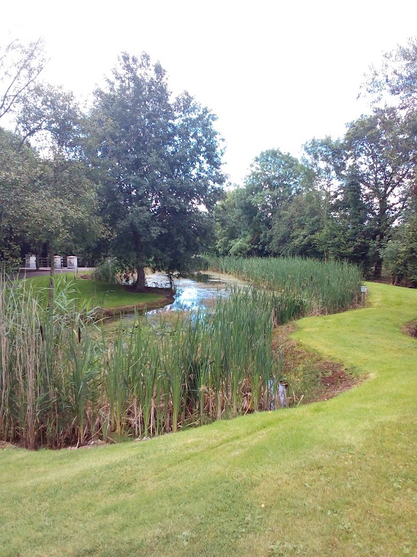 ClaraghMountain / peak · 1.2 mi
 Bawn in KillyfanaBawn · 2.0 mi
 Garden IsleIslet · 3.5 mi
 Annagh Lough BeachBeach / strand · 4.5 mi