What is recorded here
Muck and water have smothered the fort, but a Thirteen Metre circle still bulges beneath the grass. It is a fairy fort in local story, yet human hands may have shaped the bank before forgetting the name. The wet land reclaims what pride would display, keeping the fort alive only in the resistance it offers each step.
Internal diam. 13m. Apparently a circular enclosure surrounded by an earthen bank and possibly a fosse. It is badly overgrown and is situated in wet boggy land.
The above description was derived from the 'Archaeological Survey of County Donegal. A description of the field antiquities of the County from the Mesolithic Period to the 17th century.' Compiled by: Brian Lacey with Eamon Cody, Claire Cotter, Judy Cuppage, Noel Dunne, Vincent Hurley, Celie O'Rahilly, Paul Walsh and Seán Ó Nualláin (Lifford: Donegal County Council, 1983). In certain instances the entries have been revised and updated.
Date of upload: 22 September 2008
The monument record does not grant public access. Check the route and ask the landowner before entering private land.
- What survives
- Recorded monument
Places near here
 Enclosure in DunmuckrumEnclosure · 520 yd
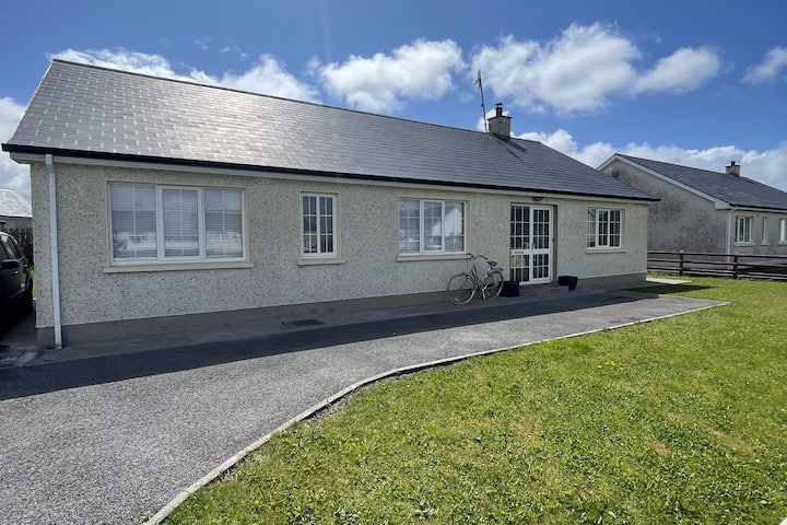 Dunmuckrum EnclosureEnclosure · 934 yd
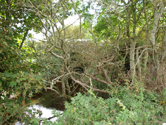 bridgebridge · 1727 yd
 Church in FinnerChurch · 1.1 mi
 Finner Old GraveyardGraveyard · 1.9 mi
 Lareen BayBay · 1.9 mi
 CastleCastle, unclassified · 2.0 mi
 St Anne's Church GraveyardGraveyard · 2.0 mi
 Rosfriar PointHeadland · 2.0 mi
 Tullan StrandBeach / strand · 2.2 mi
 Wardtown StrandBeach / strand · 2.3 mi
 InisheherIslet · 2.4 mi