What is recorded here
That is the top edge of the cache window. Use the saved Mosaic context or ask for the missing fact.
Situated at a local summit in a fairly level landscape. An enclosure (int. diam. c. 35m; ext. diam. c. 60m) defined by the cropmarks of three concentric fosse features is visible on aerial photographs (CUCAP: BDU 51; BGH 81) taken in 1968 before the land was developed as a golf-course. The outermost fosse is entangled with the ring-ditch (ME036-058----) at SW.
The above description is derived from the published 'Archaeological Inventory of County Meath' (Dublin: Stationery Office, 1987). In certain instances the entries have been revised and updated in the light of recent research.
Compiled by: Michael Moore
Date of revision: 5 July 2019
The monument record does not grant public access. Check the route and ask the landowner before entering private land.
- What survives
- Recorded monument
Places near here
 Enclosure in CaprannyEnclosure · 237 yd
 Enclosure in Dunleever GlebeEnclosure · 533 yd
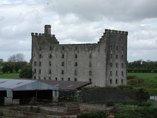 mill (water)mill (water) · 1425 yd
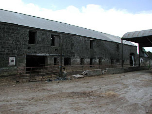 outbuildingoutbuilding · 1470 yd
 IndicatedCastle, motte · 1702 yd
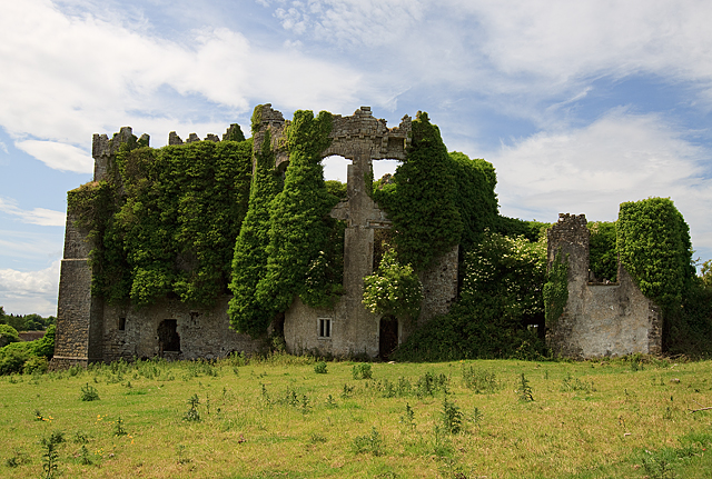 CastleCastle, tower house · 1752 yd
 Wych ElmWych Elm · 4.9 mi
 Small-leaved ElmSmall-leaved Elm · 5.0 mi
 FraineMountain / peak · 5.1 mi
 Battle of Tara (Ireland)Major battlefield · 9.0 mi
 Battle of Tara Hillbattle · 9.0 mi
 Saint Patrick'sMemorial · 9.1 mi