What is recorded here
Situated near the N end of a ridge with wide views to the N. Circular area (diam. 31m) on a partly artificial platform (H 1m) on the E edge of a natural scarp. The site is defined by an earthen bank (Wth 5-6m; int. H 0.3-0.5m; ext. H 1.2-2m). There are two breaks in the bank at the SSE (Wth 2.8m) and SSW (Wth 1.8m) either of which could mark the original entrance. No indication of an external fosse or internal features.
The above description is derived from the published 'Archaeological Inventory of County Wicklow' (Dublin: Stationery Office, 1997). In certain instances the entries have been revised and updated in the light of recent research.
Date of upload/revision: 17 December 2008
The monument record does not grant public access. Check the route and ask the landowner before entering private land.
- What survives
- Recorded monument
Places near here
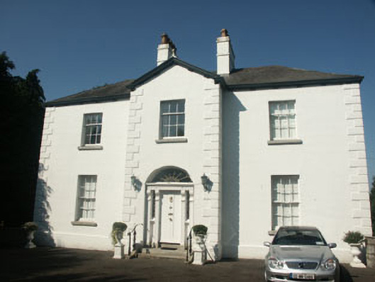 Catholic Church of Saint Nicholas of Myrapresbytery/parochial/curate's house · 673 yd
 St. Nicholas WellHoly well · 774 yd
 Memorial to 1798 rebellionMonument · 829 yd
 Enclosure in Tornant LowerEnclosure · 875 yd
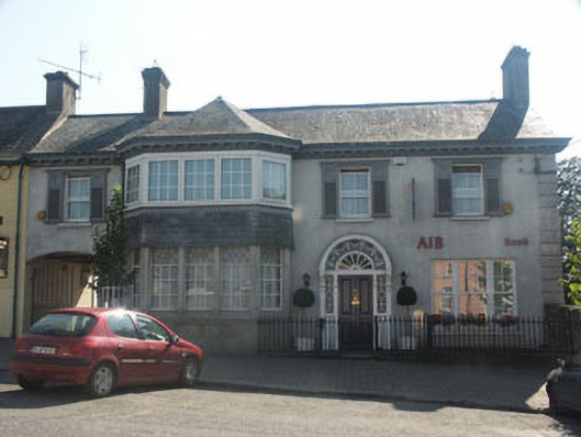 Bank Househouse · 1049 yd
 Site of Fair GreenForest · 1.7 mi
 CastleCastle, unclassified · 1.8 mi
 Castle (in Ruins)House, fortified house · 2.6 mi
 Burial ground in CrehelpBurial ground · 2.9 mi
 HawthornHawthorn · 3.5 mi
 Ballyhook HillMountain / peak · 4.0 mi
 Church MountainMountain / peak · 4.3 mi