
What is recorded here
Listed as an 'enclosure' in the SMR (1986) and as a possible 'enclosure' in the RMP (1995). O'Donovan (1838-40, 177) refers to 'two small raths partly defaced in the N side' of this townland. Depicted as a circular enclosure (diam. c. 15m) on the 1st Edition OS 6-inch map (1838). On a gentle N/NW-facing slope bisected by a drainage gully. No visible surface trace.
Compiled by: Matt Kelleher
Date of upload: 20 December 2012
The monument record does not grant public access. Check the route and ask the landowner before entering private land.
- What survives
- Recorded monument
Places near here
 St. Nicholas WellHoly well · 355 yd
 Tornant MoatFairy fort / earthen ringfort · 663 yd
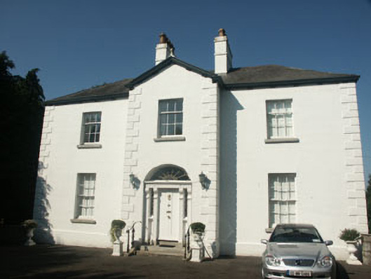 Catholic Church of Saint Nicholas of Myrapresbytery/parochial/curate's house · 694 yd
 Memorial to 1798 rebellionMonument · 731 yd
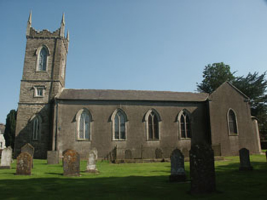 Saint Nicholas's Church (Dunlavin)church/chapel · 816 yd
 Site of Fair GreenForest · 1.2 mi
 CastleCastle, unclassified · 1.3 mi
 Castle (in Ruins)House, fortified house · 2.2 mi
 HawthornHawthorn · 3.0 mi
 Burial ground in CrehelpBurial ground · 3.4 mi
 Ballyhook HillMountain / peak · 3.9 mi
 Church MountainMountain / peak · 4.8 mi
Other information
Photo: Credit not shown in the picture search · Rights wording not checked; contact us if this picture should be removed