What is recorded here
No visible fort exists in Dunaree today, only a hidden circle beneath pasture on a rocky slope. The 1858 map drew a fort there, but grass and time erased the evidence. What remains is a ghost line on paper, waiting for someone to dig or imagine what the surveyor saw.
Situated towards the top of the NW-facing slope of a hill with rock outcrop. A circular earthwork is depicted here only on a revision of the 1834 edition of the OS 6-inch map dated 1858 where it is described as a ‘fort’. No archaeological feature is visible at ground level in pasture.
The above description is derived from the published 'Archaeological Inventory of County Monaghan' (Dublin: Stationery Office, 1986). In certain instances the entries have been revised and updated in the light of recent research.
Revised by: Michael Moore
Date of revision: 1 February 2018
The monument record does not grant public access. Check the route and ask the landowner before entering private land.
- What survives
- Recorded monument
Places near here
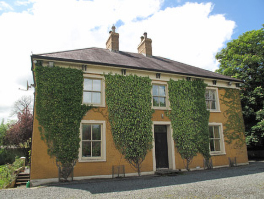 Laragh Househouse · 720 yd
 Enclosure in Beagh (cremorne By.)Enclosure · 752 yd
 The Old Post Officeworker's house · 768 yd
 CaveMan-made underground passage · 1510 yd
 Gully IslandIslet · 1.3 mi
 Rock IslandIslet · 1.5 mi
 Tally WoodWood · 1.9 mi
 Fincarn HillMountain / peak · 2.6 mi
 TobernagalliaghSpring · 2.6 mi
 Mannan Castle (in ruins)Castle, Anglo-Norman masonry castle · 4.1 mi
 KnockreaghMountain / peak · 4.5 mi
 Horse-chestnutHorse-chestnut · 4.8 mi