What is recorded here
Thirty-eight metres of grass and rush circle the east-facing slope of a drumlin in Drumsna, bounded by an overgrown earthen bank and shallow outer ditch. The earthwork still stands one metre twenty high outside, though the east edge has worn into a scarp and a modern two-metre gap opens at the northeast. People may have lived inside that ring before the field swallowed the truth, while fairy stories later repurposed the shape.
Situated on the E-facing slope of a drumlin. This is a grass and rush-covered circular area (int. diam. 38m E-W; 36m N-S) defined by an overgrown earthen bank (Wth c. 3m; int. H 0.3m; ext. H 1.2m) which is reduced to a scarp at E, and an external fosse (Wth of base 3.1m; ext. D 0.3m). There is a modern entrance (Wth of base 2m) at NE. The rath (LE031-069----) is c. 35m to the NE. Archaeological monitoring (01E0106) of a pipe-laying scheme in the village of Drumsna came within 100m of the rath at the closest point, but did not produce any related material (Read 2002, 2003).
Compiled by: Michael Moore
Date of revised upload: 10 October 2019
The monument record does not grant public access. Check the route and ask the landowner before entering private land.
- What survives
- Recorded monument
Places near here
 Drumsna National Schoolschool · 244 yd
 Declaration of IndependenceMemorial · 381 yd
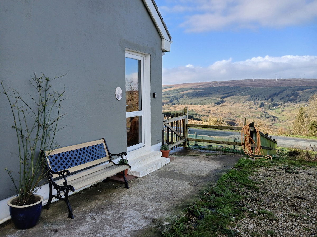 Enclosure in DrumsnaEnclosure · 465 yd
 Catholic Church of the Immaculate Conceptionchurch/chapel · 479 yd
 IndicatedFairy fort / earthen ringfort · 514 yd
 Robert Strawbridge MemorialMemorial · 574 yd
 Wildlife AreaNature reserve · 1134 yd
 Site of Dangan CastleCastle, unclassified · 2.8 mi
 CastlecarraCastle, unclassified · 2.9 mi
 Moon RiverHeritage attraction · 3.7 mi
 InishmoylinIslet · 4.3 mi
 Coarse IslandForest · 4.5 mi