What is recorded here
Fairy forts are human ringforts misnamed because people stopped remembering the hands that built them. In Drumsawry or Summerbank, a thirty-eight-metre grass circle still holds its shallow ditch and worn bank on a rise above the land. Someone entered through the west gap, crossed the causeway, and lived inside that small defended world. The fairies appear only because the names of those people faded from the story.
Located on a prominent rise in an undulating landscape. This is a circular grass-covered area (diam. 38m ENE-WSW; 37m N-S) defined by the slight remains of an overgrown earthen bank (Wth of base 3-5m; int. H 0.3m; ext. H 1m at ENE to 1.8m at WSW) surrounded by a fosse (Wth of top 6-7m; Wth of base 1-3m; ext. D 0.6-0.7m), and a slight external bank (Wth of base 2-3m; ext. H 0.3-0.6m) ESE-W. The fosse is reduced to a berm, and the counterscarp bank is absent W-N. The entrance (Wth of base 1.45m) and causeway (Wth of top 3.6m; H 0.2-04m) and a gap in the outer bank (Wth 8.2m) are at WSW (max. ext. diam. 52m ENE-WSW).
The above description is derived from the published 'Archaeological Inventory of County Meath' (Dublin: Stationery Office, 1987). In certain instances the entries have been revised and updated in the light of recent research.
Compiled by: Michael Moore
Date of revision: 1 November 2018
The monument record does not grant public access. Check the route and ask the landowner before entering private land.
- What survives
- Recorded monument
Places near here
 Enclosure in TubrideEnclosure · 521 yd
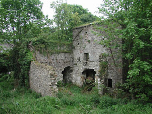 mill (water)mill (water) · 1024 yd
 Enclosure in KnockmacoonyEnclosure · 1035 yd
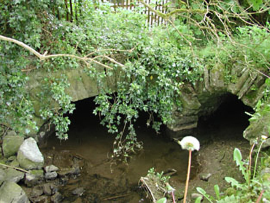 mill racemill race · 1039 yd
 CastleCastle, unclassified · 1164 yd
 C11Named rock · 1723 yd
 Carnbane WestMountain / peak · 1.0 mi
 Mount FortuneMountain / peak · 1.0 mi
 Memorial CrossMemorial · 1.0 mi
 LoughcrewMegalithic tomb cemetery · 1.2 mi
 MoatCastle, motte · 1.3 mi
 Zip WireHeritage attraction · 1.3 mi