What is recorded here
Fairy fort / earthen ringfort in Drumnagoal is a fairy fort or earthen ringfort in Drumnagoal, County Sligo, Ireland. The subcircular site measures 27m NE-SW and 25m NW-SE on a level terrace on the NE-facing slope of a low ridge. A low bank of earth and stone encloses part of the area while a scarp defines the rest, with a 2m break at NE that may represent the original entrance. A NNE-SSW field boundary divides the site into unequal portions.
Not marked on any edition of the OS 6-inch map. Identified from an aerial photograph. Situated on a level terrace on the NE-facing slope of a low ridge. Subcircular area (27m NE-SW; 25m NW-SE) enclosed from NW-NNW-N and from NE-E-SE by a low bank of earth and stone (Wth 1.6-2.6m; H 0.6-0.8m). Elsewhere the defining element is a scarp. Break in bank at NE (Wth 2m) may represent original entrance. The site is divided into unequal portions by a NNE-SSW field boundary.
Compiled by: Patrick F. O'Donovan
Date of upload: 19 January 2011
The monument record does not grant public access. Check the route and ask the landowner before entering private land.
- What survives
- Recorded monument
Places near here
 Holy well in Carrownamaddoo (tireragh By.)Holy well · 777 yd
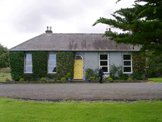 Holy Hill Hermitagehouse · 834 yd
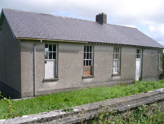 Dromard National Schoolschool · 866 yd
 IndicatedEnclosure · 1094 yd
 Knockalongy North-East TopMountain / peak · 1.8 mi
 Valley WoodForest · 1.8 mi
 Pigeonpark WoodForest · 2.1 mi
 Bawn in Longford DemesneBawn · 2.1 mi
 CloonaghMountain / peak · 2.1 mi
 Giant's GraveArchaeological place · 2.9 mi
 Dunmoran StrandBeach / strand · 3.3 mi
 CastleCastle, ringwork · 3.5 mi