What is recorded here
Drummeel holds a circular earthen fort on a ridge overlooking Currygrane Lake, its broken bank still marking a place meant to be seen and defended. Hawthorn, ash and brambles now tighten around the rampart, turning an old human boundary into a living cage. The fort may have watched valleys, stored life or excluded strangers, but time has erased the hands that shaped it. What remains is a round scar in the pasture, half forgotten and half alive, waiting for someone to remember why people built visible marks on the earth.
In pasture on top of a NW–SE ridge, straddling the break of slope on the SW side, which provides excellent views to the W over a broad valley and NW to Currygrane Lake. Slightly raised circular area (41.6m NE–SW; 38.7m NW–SE) defined by an earthen bank (Wth 3–3.5m; int. H 1.2m; ext. H 1.45m at NE, 1.2m at SW) with an external fosse. The external face of the bank is cut almost vertically, probably as a result of the incorporation of the rath into a later field system. The internal slope is more degraded and broadly slumped. There is a break (Wth c. 4m) in the bank at S, possibly indicating the original entrance. At SW a short section of bank is reduced to a scarp, and at NW a section (L 5–6m) has been eroded to a low rise. The fosse appears as a barely discernible dip (Wth 2–2.5m) in the external ground level. For a short distance at SW, there is a more pronounced depression (Wth 2.7m; ext. D 0.45m) but this is likely to be a relatively recent modification/recut as it merges at WNW with a field drain, which borders a field fence intersecting with the rath at this point. The interior of the rath has a very slight slope down from NE–SW. The bank is densely ringed with hawthorn, ash and brambles.
Compiled by: Jane O’Shaughnessy
Date of upload: 17 January 2013
The monument record does not grant public access. Check the route and ask the landowner before entering private land.
- What survives
- Recorded monument
Places near here
 IndicatedFairy fort / earthen ringfort · 750 yd
 Frys IslandCrannog · 751 yd
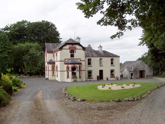 Corbeagh Househouse · 1110 yd
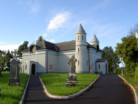 Saint James's Catholic Churchchurch/chapel · 1140 yd
 Moat & CastleCastle, motte and bailey · 1.5 mi
 RuinsCastle, unclassified · 1.8 mi
 Ballinalee Forest WalkForest · 1.9 mi
 Clonfin Ambush MemorialMemorial · 2.0 mi
 Bully's Acregraveyard/cemetery, unknown · 2.3 mi
 Cloonfin WoodForest · 2.5 mi
 Edgeworthstown BypassMemorial · 3.9 mi
 Granard MotteMotte-and-bailey castle remains · 5.6 mi